


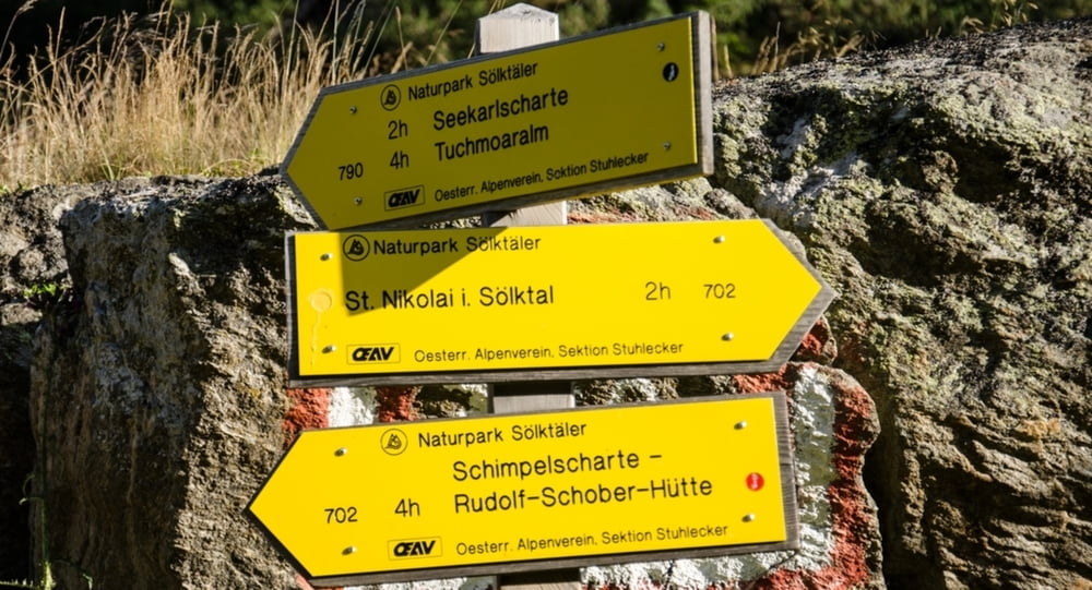
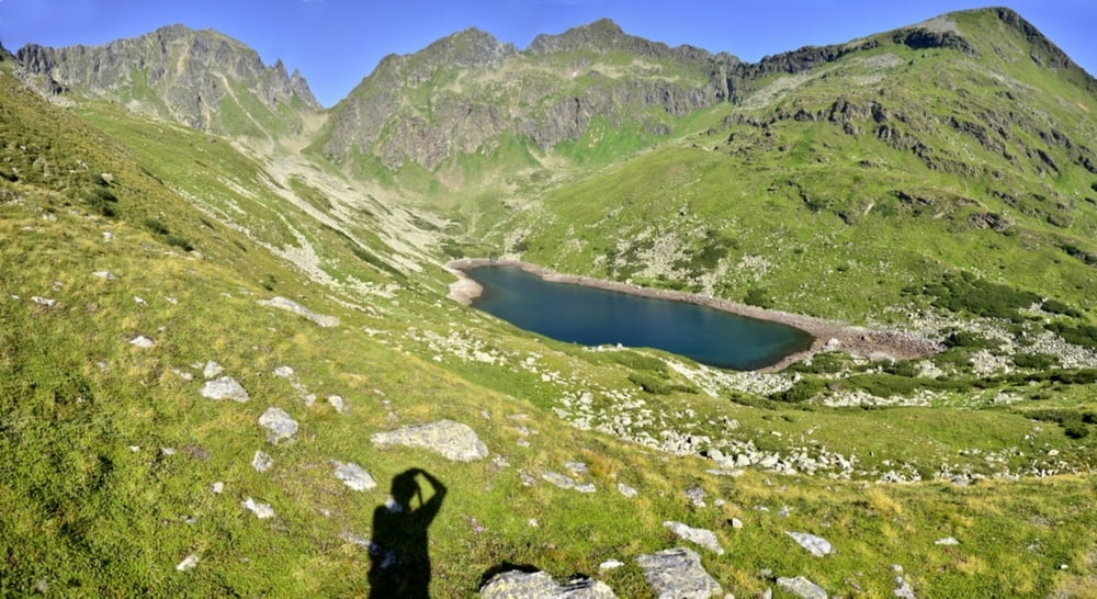
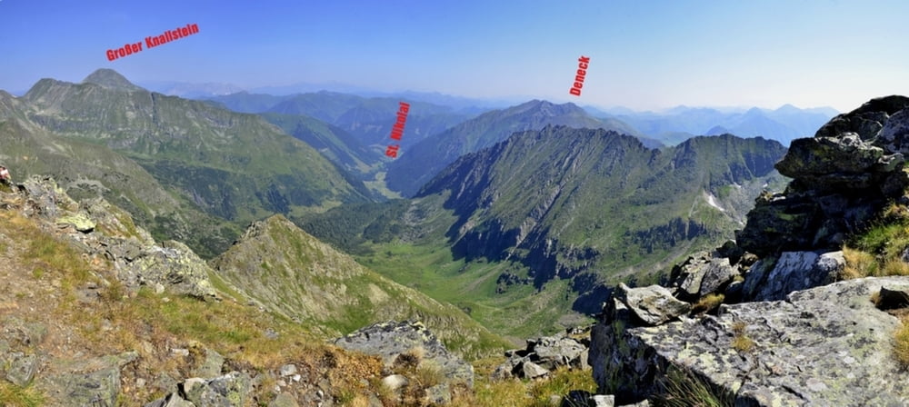
In St. Nikolai gleich nach der Kirche ist ein kleiner Parkplatz, dort beginnt die Wanderung. Richtung SSW geht es sehr flach auf einem Forstweg bis zu einem Wasserfall. Dann eine Stunde bis zum Hohensee von wo man weitere Wandermöglichkeiten hat. Von dort geht es etwas steil weiter zum Schimplsee. Nach einer weiteren Stunde ein steiler Aufstieg Richtung Süßleiteck. (schwarze Markierung) Leider gibt es keine Möglichkeit einen anderen Rückweg zu nehmen, man sollte jedoch sehr früh starten da man sich sehr wenig im Wald aufhält und die Hitze im Hochsommer enorm ist. Die Länge der Tour sollte man ebenfalls beachten.
Tour gallery
Tour map and elevation profile
Minimum height 1125 m
Maximum height 2475 m
More about the tour author
|
|
Weebe60 |
Comments

In Stein an der Enns in das Großsölktal bis St. Nikolai zum Parkplatz gleich nach der Kirche.
GPS tracks
Trackpoints-
GPX / Garmin Map Source (gpx) download
-
TCX / Garmin Training Center® (tcx) download
-
CRS / Garmin Training Center® (crs) download
-
Google Earth (kml) download
-
G7ToWin (g7t) download
-
TTQV (trk) download
-
Overlay (ovl) download
-
Fugawi (txt) download
-
Kompass (DAV) Track (tk) download
-
Track data sheet (pdf) download
-
Original file of the author (gpx) download
More about the tour author
|
|
Weebe60 |
Add to my favorites
Remove from my favorites
Edit tags
Open track
My score
Rate