


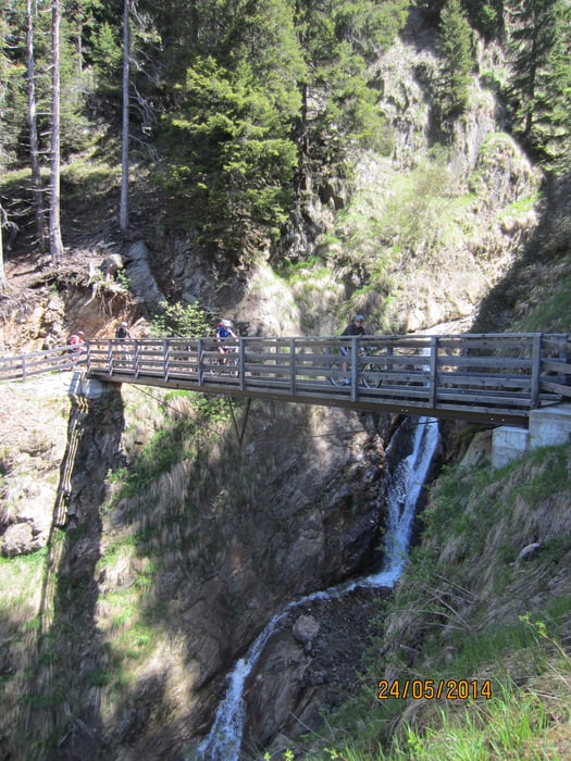
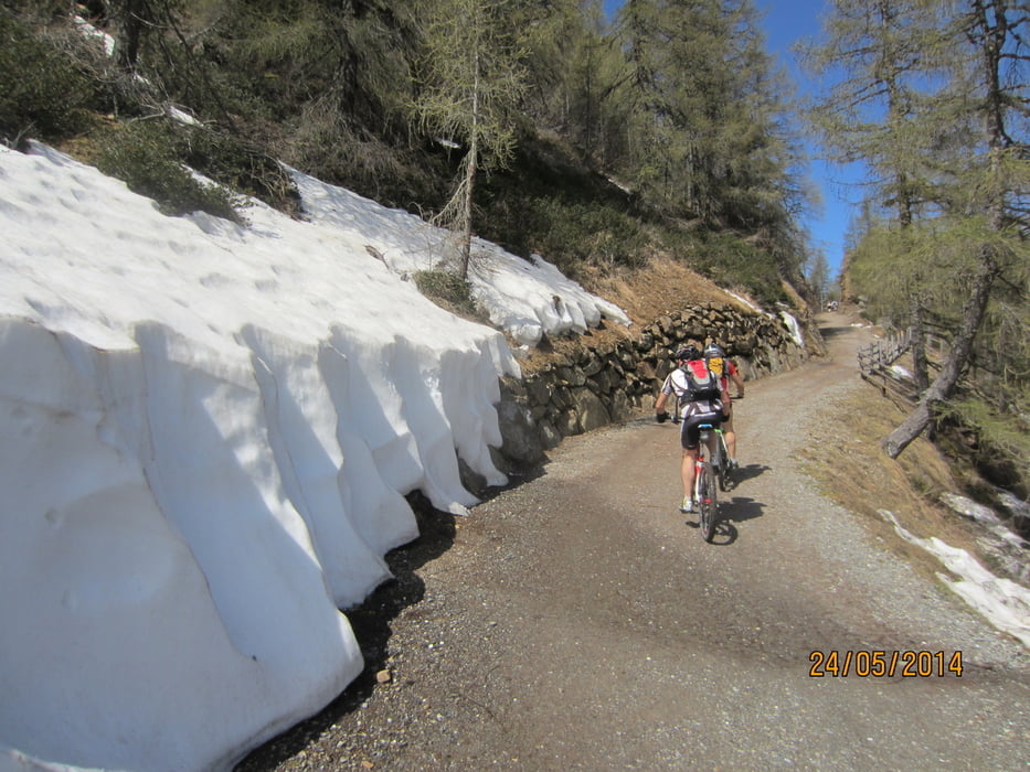
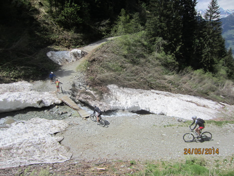
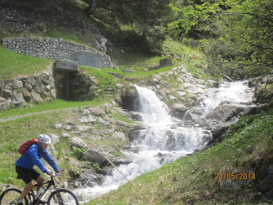
- Rundkurs im Uhrzeigersinn von Meran auf dem Passerradweg ins Passeiertal. Aufstieg über Schweinsteg nach Tall. Weiter auf den Hirzer zur Stafell Alm. Von der Stafell Alm auf einem nicht allzu schwierigen Trail nach Videgg. Von Videgg auf der Forststrasse, bzw. geteerten Nebenstrasse nach Schenna und weiter nach Meran zum Ausgangspunkt.
- Start/Ziel: Meran/Marling; Parkplatz neben Hotel Marlingerhof an der Marlingerbrücke.
Tour gallery
Tour map and elevation profile
Minimum height 275 m
Maximum height 1986 m
More about the tour author
|
|
MargesinFriedrich |
Comments

GPS tracks
Trackpoints-
GPX / Garmin Map Source (gpx) download
-
TCX / Garmin Training Center® (tcx) download
-
CRS / Garmin Training Center® (crs) download
-
Google Earth (kml) download
-
G7ToWin (g7t) download
-
TTQV (trk) download
-
Overlay (ovl) download
-
Fugawi (txt) download
-
Kompass (DAV) Track (tk) download
-
Track data sheet (pdf) download
-
Original file of the author (gpx) download
More about the tour author
|
|
MargesinFriedrich |
Add to my favorites
Remove from my favorites
Edit tags
Open track
My score
Rate