Login

Forgotten password?

Cookies have to be accepted!
Your browser's cookie functionality is disabled. Please enable this functionality.

Not a member yet?

Register now
Login

Available for registred users only

Log in to use this feature.

Forgotten password?

Cookies have to be accepted!
Your browser's cookie functionality is disabled. Please enable this functionality.

Not a member yet?

Register now
Filter
Categories
Advanced filters
  • Distance (km)
  • Height
Save filters Reset filter

TrackRank

QRCode

Technical data

Distance19,8 km Height414 m Way down384 m Duration06:00 h:m Date26.05.2014
Scores Author Landscape Fun factor Fitness Technique

Statistics

233 Views Scores 36 Downloads Average
Rate
  • Track data sheet
  • Directions
  • Downloads


Eine schöne Tour durch die Eifel, mit Abwechslung reichen Wegen und wunderschönen Landschaften. Mitten auf der Strecke befindet sich die Burg Vogelsang, also ist auch etwas Geschichte dabei. Die Strecke ist ohne größere Höhenunterschiede, also leicht zu bewältigen.
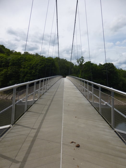
 

Tour gallery

Tour map and elevation profile

  • Open Street Map
  • Google
Minimum height 282 m Maximum height 508 m Detailed view

More about the tour author

misosonja
Member since 2012

Send private message

Comments

GPS tracks

Trackpoints
  • GPX / Garmin Map Source (gpx) download
  • TCX / Garmin Training Center® (tcx) download
  • CRS / Garmin Training Center® (crs) download
  • Google Earth (kml) download
  • G7ToWin (g7t) download
  • TTQV (trk) download
  • Overlay (ovl) download
  • Fugawi (txt) download
  • Kompass (DAV) Track (tk) download
  • Track data sheet (pdf) download
  • Original file of the author (gpx) download

More about the tour author

misosonja
Member since 2012

Send private message
Share track
Add to my favorites
Remove from my favorites
Edit tags
My score
Rate
Track: Gemünd-Vogelsang
Type: Hiking
Distance: 19,8 km
Evaluated on:
Duration:
Day(s)
Hour(s)
Minute(s)
Score: Landscape Fun factor Fitness Technique