


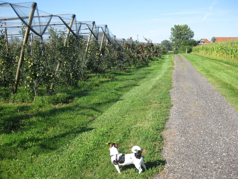
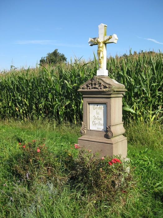
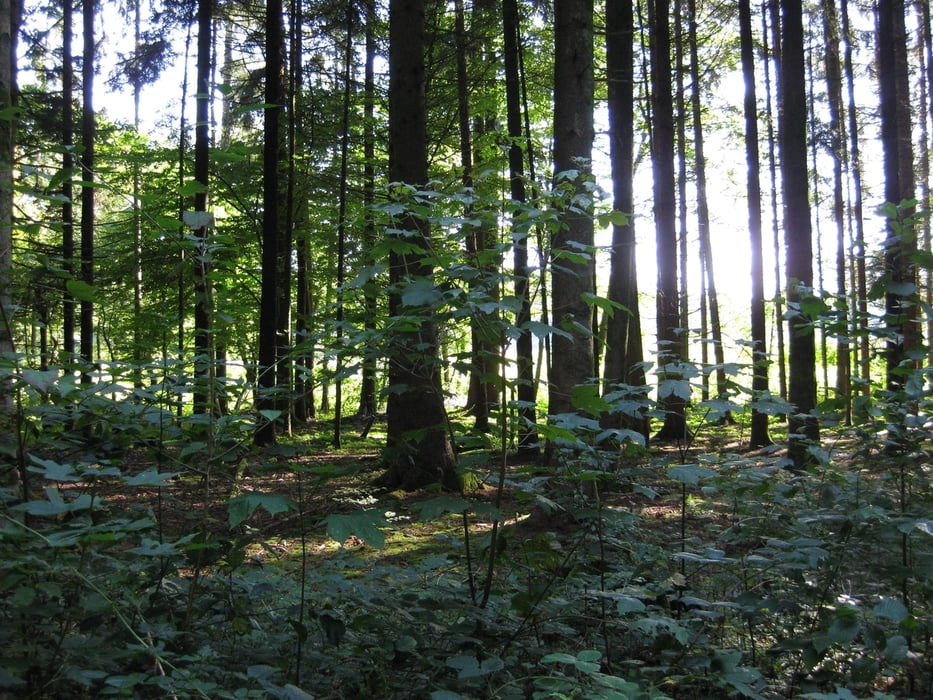
Gemütliche Sonntagstour mit der ganzen Familie, Kinderwagen kein Problem, erst geht es durch Obstplantagen dann durch den Wald wieder zurück durch den Ort Meckenbeuren unter der Unterführung am Bahnhof zurück zum Ausgangspunkt. Oskar von Millerplatz
Daten der Tour: Strecke 4,7 Kilometer Gehzeit gemütlich 1,5 Stunden, Schwierigkeitsgrad: Leicht
Höhenunterschied 11 Meter
Tour gallery
Tour map and elevation profile
Minimum height 414 m
Maximum height 423 m
More about the tour author

|
manfredschiller |
Comments

Startpunkt ist der Oskar von Millerplatz / Lidl in 88074 Meckenbeuren am Bahnhof
Genügend kostenlose Parkmöglichkeiten auf dem Platz.
GPS tracks
Trackpoints-
GPX / Garmin Map Source (gpx) download
-
TCX / Garmin Training Center® (tcx) download
-
CRS / Garmin Training Center® (crs) download
-
Google Earth (kml) download
-
G7ToWin (g7t) download
-
TTQV (trk) download
-
Overlay (ovl) download
-
Fugawi (txt) download
-
Kompass (DAV) Track (tk) download
-
Track data sheet (pdf) download
-
Original file of the author (gpx) download
More about the tour author
|
|
manfredschiller |
Add to my favorites
Remove from my favorites
Edit tags
Open track
My score
Rate