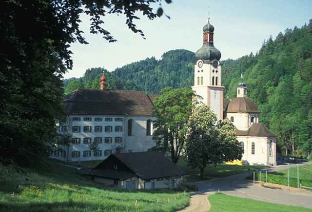
Die schöne und strenge Tour führt dich von Fischingen über Allenwinden nach Bauma im Tösstal. Der Töss folgend erreichst du Steg. Hier biegst Du links ab und folgst der anfangs Asphalt- und später Schotterstrasse auf die Strahlegg zur Alpwirtschaft Tierhag. Nach einer verdienten Stärkung folgst du dem Wanderweg zur Hulftegg. Auf dieser Passhöhe kannst du dich erneut stärken, bevor du dem relativ flachen Wandeweg zurück nach Allenwinden folgst. Ab Allenwinden geht es anfangs relativ steil und anschliesend auf ungepflegtem Bewirschaftungsweg zurück ins Klosterdorf Fischingen. An eingen Stellen musst du das Fahrrad kurze Strecken schieben.
Tour gallery
Tour map and elevation profile
Minimum height 532 m
Maximum height 1153 m
Comments

Die Tour beginnt und endet im Klosterdorf Fischingen im Hinterthurgau.
Auf der Autobahn Zürich St. Gallen die Ausfahrt Münchwilen benutzen. Ab Ausfahrt dauert die Fahrt noch ca. 10 Minuten.
Auf der Autobahn Zürich St. Gallen die Ausfahrt Münchwilen benutzen. Ab Ausfahrt dauert die Fahrt noch ca. 10 Minuten.
GPS tracks
Trackpoints-
GPX / Garmin Map Source (gpx) download
-
TCX / Garmin Training Center® (tcx) download
-
CRS / Garmin Training Center® (crs) download
-
Google Earth (kml) download
-
G7ToWin (g7t) download
-
TTQV (trk) download
-
Overlay (ovl) download
-
Fugawi (txt) download
-
Kompass (DAV) Track (tk) download
-
Track data sheet (pdf) download
-
Original file of the author (g7t) download
Add to my favorites
Remove from my favorites
Edit tags
Open track
My score
Rate


