
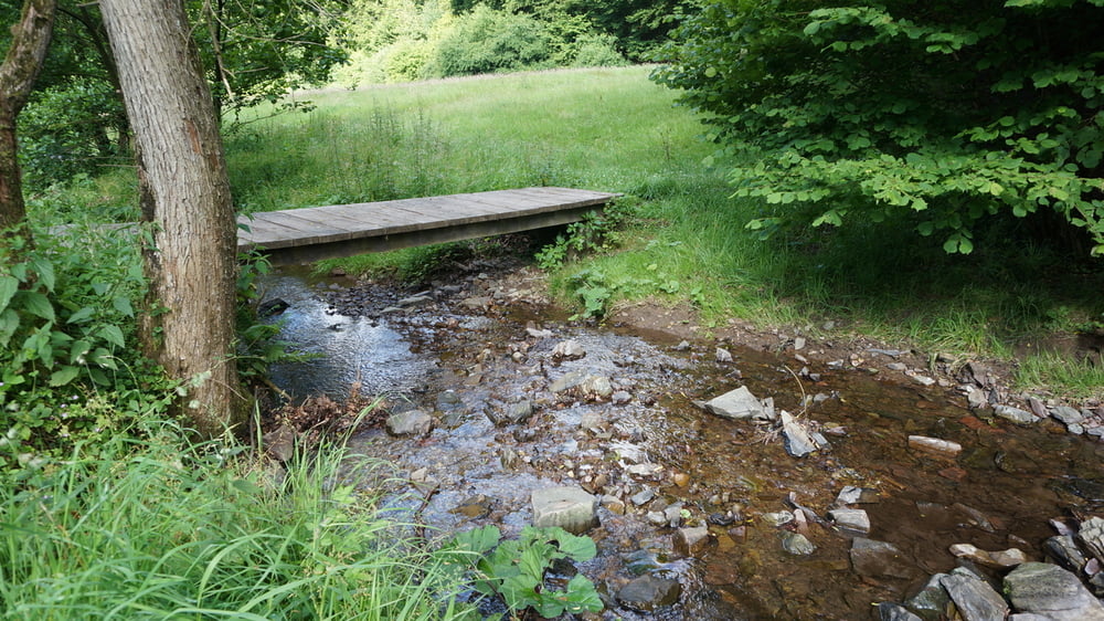

Vom Wanderparkplatz am Pfannkuchenhaus Coenenmühle führt der Weg auf schmalen Pfaden durchs Linnefetal. Hier trifft er an einer Pumpstation auf die Wegmarkierung D1, Siefen, Wälder und Höhen, dem er weiter folgt. Es geht über die Linnefe hoch nach Lindscheid, von wo man einen tollen Blick auf die Dhünntalsperre hat. Nach ständigem Auf und Ab führt der weg bis zur Ketzbergerhöhe und dem Hindenburgturm. Vor dem Turm folgen wir dem D2 wieder hinunter ins Linnefetal, am Freibad Dabringhausen vorbei zurück zum Ausgangspunkt.
Further information at
http://www.sudowe.eu/index.php/renate-s-blog/berichte-2014/117-wermelskirchen-hat-so-einiges-zu-bietenTour gallery


Tour map and elevation profile
Minimum height 145 m
Maximum height 277 m
More about the tour author
|
|
Renatelev |
Comments

Adresse für`s Navi: Achtung verschiedene Schreibweisen, auch Coenenmühle
Könenmühle 1, 42929 Wermelskirchen (K18)
GPS tracks
Trackpoints-
GPX / Garmin Map Source (gpx) download
-
TCX / Garmin Training Center® (tcx) download
-
CRS / Garmin Training Center® (crs) download
-
Google Earth (kml) download
-
G7ToWin (g7t) download
-
TTQV (trk) download
-
Overlay (ovl) download
-
Fugawi (txt) download
-
Kompass (DAV) Track (tk) download
-
Track data sheet (pdf) download
-
Original file of the author (gpx) download
More about the tour author
|
|
Renatelev |
Add to my favorites
Remove from my favorites
Edit tags
Open track
My score
Rate