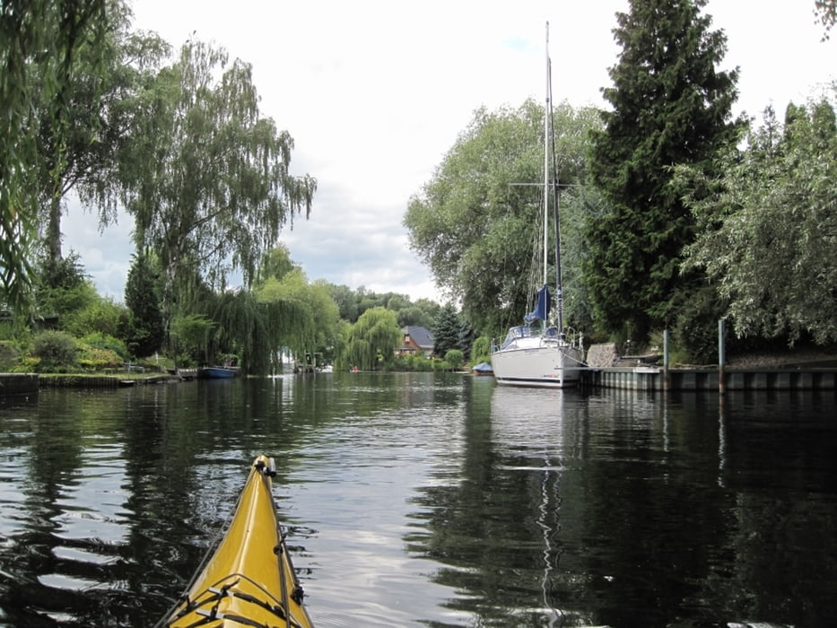
Die kleinen Nebenseen vom Beetzsee sind leider nicht mit dem Kanu zu erreichen. Wir steuern sie trotzdem an. Beim Hotel Seehof kommt man fast durch, aber umgefallene Bäume erlauben kein Durchkommen und schon gar nicht mit einem schweren Boot mit Gepäck. Diesmal geht es in Brandenburg durch die Stadtschleuse in den Brandenburger Stadtkanal. Venedig lässt grüßen.
Auf der Havel gibt es ab jetzt dem betonnten Fahrwasser für die großen Pötte zahlreiche Altarme, die wir mit dem Kajak befahren dürfen. Natur pur. Hier hören wir häufig den Drosselrohrsänger (Acrocephalus arundinaceus). Er lebt hier von April bis September, bevor er in sein Winterquartier im tropischen und südlichen Afrika zieht.
Auf der Havel gibt es ab jetzt dem betonnten Fahrwasser für die großen Pötte zahlreiche Altarme, die wir mit dem Kajak befahren dürfen. Natur pur. Hier hören wir häufig den Drosselrohrsänger (Acrocephalus arundinaceus). Er lebt hier von April bis September, bevor er in sein Winterquartier im tropischen und südlichen Afrika zieht.
Tour gallery
Tour map and elevation profile
Minimum height -19 m
Maximum height 51 m
Comments

GPS tracks
Trackpoints-
GPX / Garmin Map Source (gpx) download
-
TCX / Garmin Training Center® (tcx) download
-
CRS / Garmin Training Center® (crs) download
-
Google Earth (kml) download
-
G7ToWin (g7t) download
-
TTQV (trk) download
-
Overlay (ovl) download
-
Fugawi (txt) download
-
Kompass (DAV) Track (tk) download
-
Track data sheet (pdf) download
-
Original file of the author (gpx) download
Add to my favorites
Remove from my favorites
Edit tags
Open track
My score
Rate


