Login

Forgotten password?

Cookies have to be accepted!
Your browser's cookie functionality is disabled. Please enable this functionality.

Not a member yet?

Register now
Login

Available for registred users only

Log in to use this feature.

Forgotten password?

Cookies have to be accepted!
Your browser's cookie functionality is disabled. Please enable this functionality.

Not a member yet?

Register now
Filter
Categories
Advanced filters
  • Distance (km)
  • Height
Save filters Reset filter

TrackRank

QRCode

Technical data

Distance124,3 km Height330 m Way down327 m Duration06:15 h:m Date20.07.2014
Scores Author Landscape Fun factor Fitness Technique

Statistics

281 Views Scores 62 Downloads Average
Rate
  • Track data sheet
  • Directions
  • Downloads
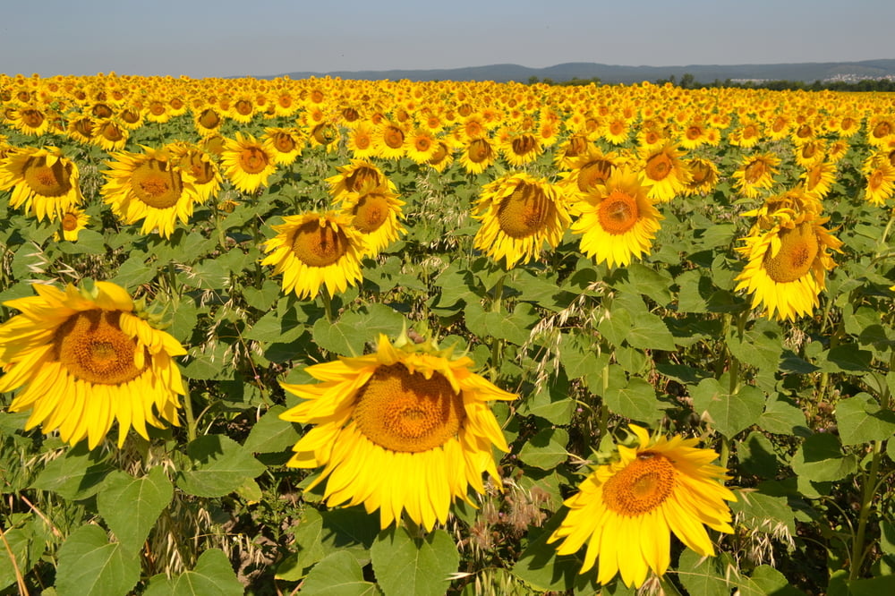
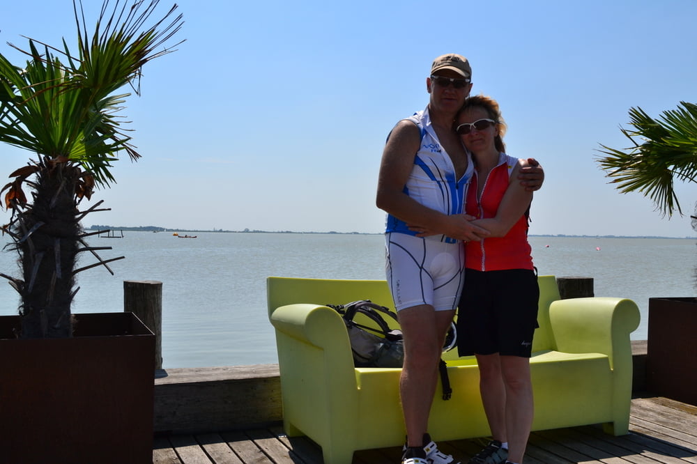
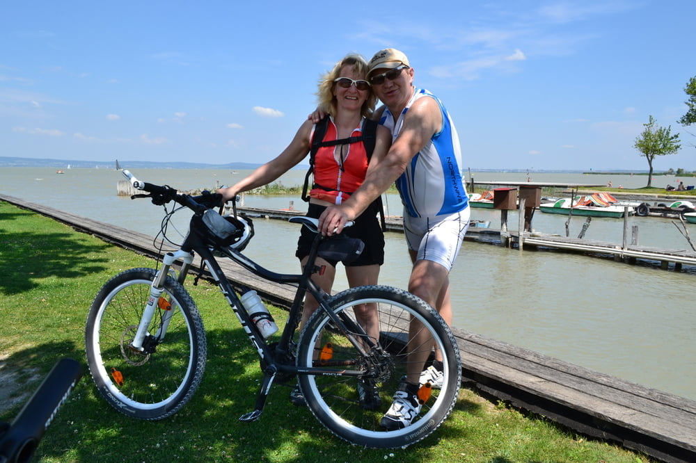
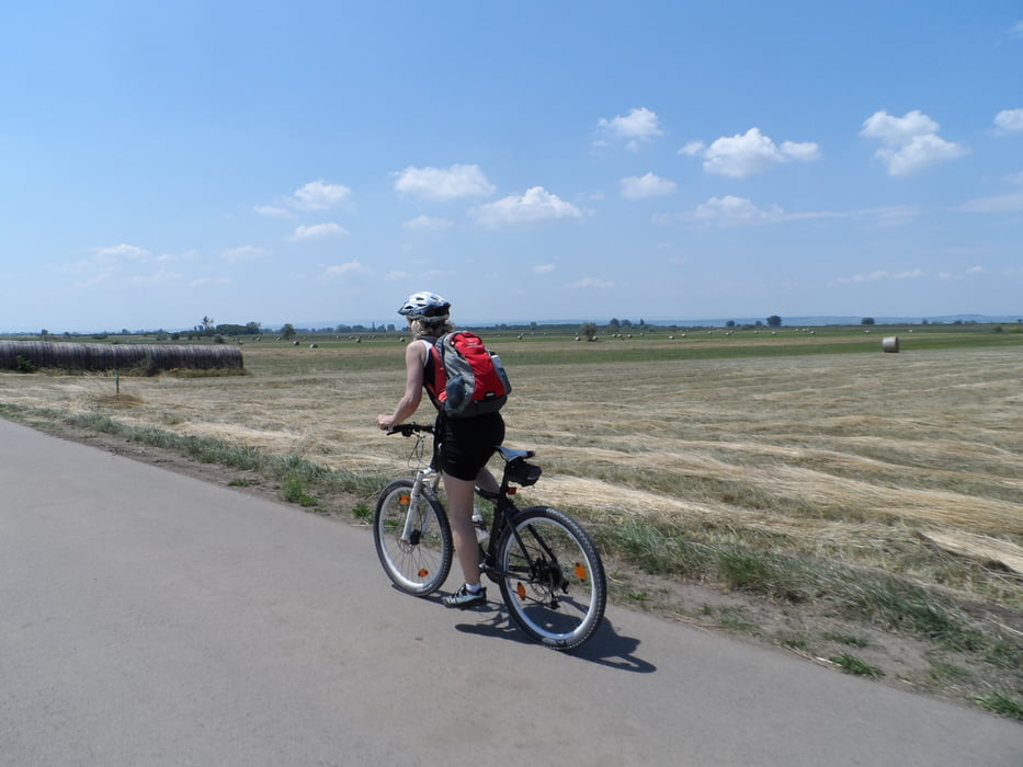
Rund um den Neusiedlersee-Ein Teil führt auch durch Ungarn-Ist eine schöne Tour - man ist aber nur sehr selten am See-bei Temperaturen über 30°C ist die Tour aber sehr anstrengend.......

Tour gallery

Tour map and elevation profile

  • Open Street Map
  • Google
Minimum height 115 m Maximum height 178 m Detailed view

More about the tour author

plazo100
Member since 2009

Send private message

Comments

GPS tracks

Trackpoints
  • GPX / Garmin Map Source (gpx) download
  • TCX / Garmin Training Center® (tcx) download
  • CRS / Garmin Training Center® (crs) download
  • Google Earth (kml) download
  • G7ToWin (g7t) download
  • TTQV (trk) download
  • Overlay (ovl) download
  • Fugawi (txt) download
  • Kompass (DAV) Track (tk) download
  • Track data sheet (pdf) download
  • Original file of the author (gpx) download

More about the tour author

plazo100
Member since 2009

Send private message
Share track
Add to my favorites
Remove from my favorites
Edit tags
My score
Rate
Track: Neusiedlerseeumrundung
Type: Mountain bike
Distance: 124,3 km
Evaluated on:
Duration:
Day(s)
Hour(s)
Minute(s)
Score: Landscape Fun factor Fitness Technique