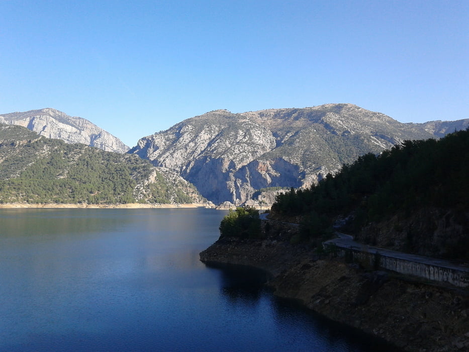
Bis zur Scheitelhöhe bei km 18,5 beste Forstraße im lichten Pinienwald, ab da fast ausschließlich Asfalt.
Aussicht: Nach N ins unerwartet bergige Hinterland, nach S freie Sicht auf die Küste.
Tour gallery
Tour map and elevation profile
Minimum height 38 m
Maximum height 793 m
Comments

Mit Auto bis zum Kraftwerksgelände und rechts über die Brücke zum AP.
Bei Anfahrt ab Küste ca. +35 km.
GPS tracks
Trackpoints-
GPX / Garmin Map Source (gpx) download
-
TCX / Garmin Training Center® (tcx) download
-
CRS / Garmin Training Center® (crs) download
-
Google Earth (kml) download
-
G7ToWin (g7t) download
-
TTQV (trk) download
-
Overlay (ovl) download
-
Fugawi (txt) download
-
Kompass (DAV) Track (tk) download
-
Track data sheet (pdf) download
-
Original file of the author (gpx) download
Add to my favorites
Remove from my favorites
Edit tags
Open track
My score
Rate


