


Dies ist eine (fast) offizielle Route. Der Aufstieg zur Schalleralm (und noch etwas weiter) ist in der Wanderkarte als MTB Route eingezeichnet. Die Abfahrt am Panoramaweg ist sehr schön und auf einer breiten Fortststraße. Bitte auf Wanderer aufpassen!
Die Tour beginnt in Veitsch und läuft auf der Straße bzw. am Radweg bis Brunnalm. Von dort rauf zur Schalleralm gibts Forststraße auf Schotter bzw. ein kurzes Stück Single Trail.
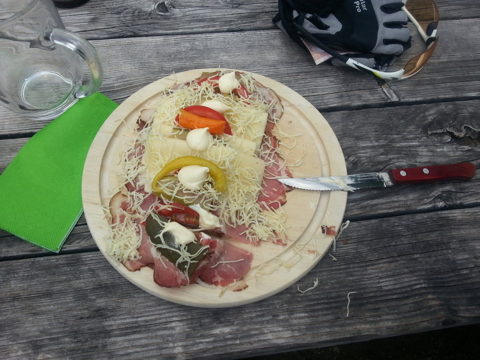
Nach einer Stärkung auf der Alm (Super belegte Brote!) gehts wieder runter nach Brunbach am Panoramaweg.
Den Wanderweg von der Alm rauf kann man sich ersparen in dem man die Straße nimmt - nachher ist man immer gescheiter ;)
Die Tour lässt sich von der Schalleralm übrigens noch weiter zum Rotschite (oder so ?!?) verlängern. Wir haben statt dessen die Abfahrt über die Panoramaroute gewählt.
Tour gallery


Tour map and elevation profile
Minimum height 675 m
Maximum height 1435 m
More about the tour author
|
|
zwickyy |
Comments

GPS tracks
Trackpoints-
GPX / Garmin Map Source (gpx) download
-
TCX / Garmin Training Center® (tcx) download
-
CRS / Garmin Training Center® (crs) download
-
Google Earth (kml) download
-
G7ToWin (g7t) download
-
TTQV (trk) download
-
Overlay (ovl) download
-
Fugawi (txt) download
-
Kompass (DAV) Track (tk) download
-
Track data sheet (pdf) download
-
Original file of the author (gpx) download
More about the tour author
|
|
zwickyy |
Add to my favorites
Remove from my favorites
Edit tags
Open track
My score
Rate