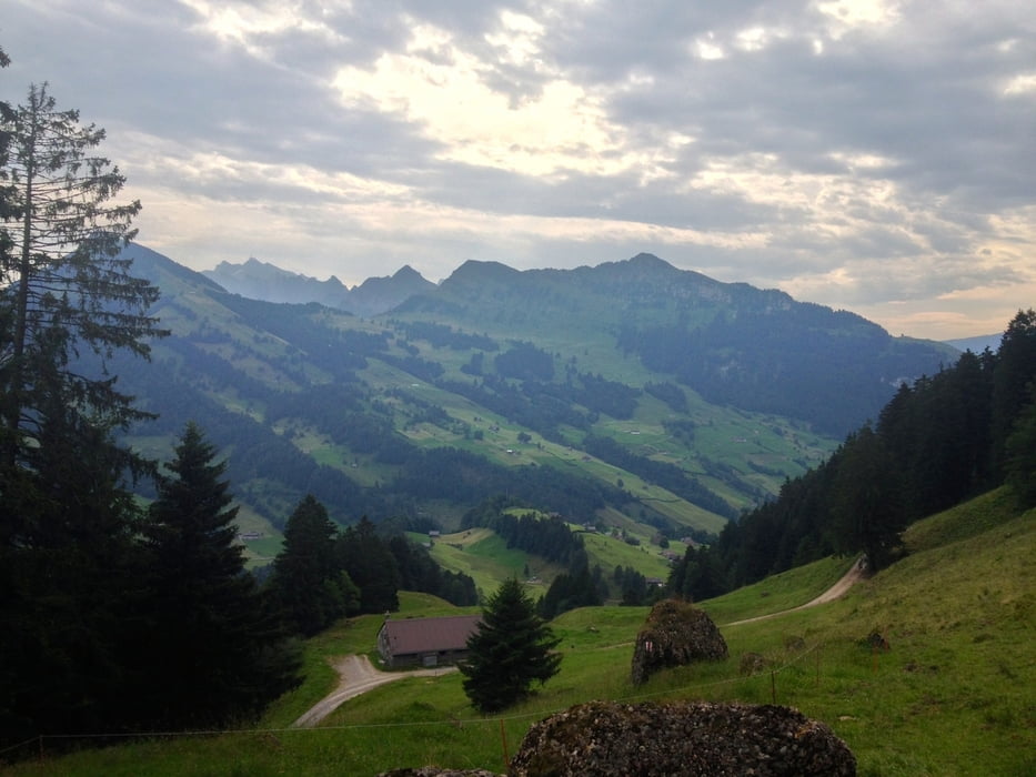
Nesslau - Bläss-Chopf - Schilt - Bütz - Hengst - Nesslau
Eine Runde durchs höchste Nagelfluhgebirge in Europa. Es besteht dir Möglichkeit für einen Abstecher auf den Speer (+2h)
Man sieht das Säntismassiv, Churfirsten und etwa 100 weitere Gipfel. Sehr eindrucksvoll.
Auf dem Rückweg gibt es verschiedene Beizen, die zur Rast einladen.
Tour gallery
Tour map and elevation profile
Minimum height 769 m
Maximum height 1669 m
Comments

Parken in Nesslau am Bahnhof. Dort gibt es auch kostenfreie Parkplätze.
GPS tracks
Trackpoints-
GPX / Garmin Map Source (gpx) download
-
TCX / Garmin Training Center® (tcx) download
-
CRS / Garmin Training Center® (crs) download
-
Google Earth (kml) download
-
G7ToWin (g7t) download
-
TTQV (trk) download
-
Overlay (ovl) download
-
Fugawi (txt) download
-
Kompass (DAV) Track (tk) download
-
Track data sheet (pdf) download
-
Original file of the author (gpx) download
Add to my favorites
Remove from my favorites
Edit tags
Open track
My score
Rate


