


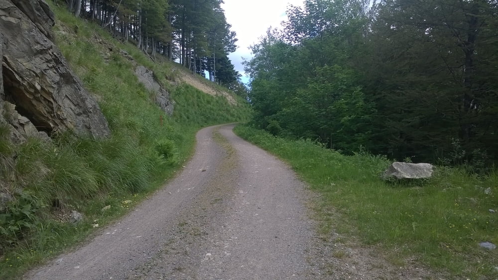
Start in Oberried, durch das Zastlertal zum Hinterwaldkopf. Von dort durchs Alpersbach nach Hinterzarten. Bei der Földi Klinik unter der B31 durch und danach rechts halten Richtung Heiligenbrunnen (Gasthof), von dort nach Breitnau. Die B 500 überqueren und durch Breitnau bis ins Hinterdorf von dort abwärts bis Buchenbach .Von Buchenbach über Bahnhof Himmelreich weiter nach Kirchzarten Giersberg zum Ausgangspunkt in Oberried. Einkehrmöglichkeiten an der Hinterwaldkopfhütte, in Hinterzarten und Breitnau sowie nach der Abfahrt in Buchenbach und zuletzt kurz vor dem Ziel im Gasthaus Schützen im Weilersbach, liegt direkt am Weg.
Tour gallery
Tour map and elevation profile
Minimum height 398 m
Maximum height 1149 m
More about the tour author

|
BikerSandmann |
Comments

Von Freiburg B 31 Ausfahrt Kirchzarten Oberried, Parkplatz Ortsmitte beim Kloster oder am Sportgelände im Industriegebiet Brühl.
GPS tracks
Trackpoints-
GPX / Garmin Map Source (gpx) download
-
TCX / Garmin Training Center® (tcx) download
-
CRS / Garmin Training Center® (crs) download
-
Google Earth (kml) download
-
G7ToWin (g7t) download
-
TTQV (trk) download
-
Overlay (ovl) download
-
Fugawi (txt) download
-
Kompass (DAV) Track (tk) download
-
Track data sheet (pdf) download
-
Original file of the author (gpx) download
More about the tour author
|
|
BikerSandmann |
Add to my favorites
Remove from my favorites
Edit tags
Open track
My score
Rate