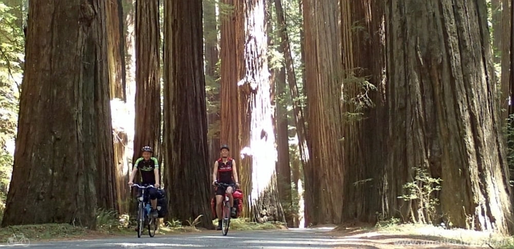
Cycling from Petrolia via Mattole Road, Bull Creek Flats Road and Avenue of the Giants to Myers Flat, following the pacific coast by bicycle.
Stage 16 of our cycling tour from Vancouver to San Francisco.
Further information at
http://amerika-radtour.eu/index.php/en/touren-en/vancouver-san-francisco-en/129-2013-16-petrolia-myers-flat-enTour map and elevation profile
Minimum height 29 m
Maximum height 840 m
Comments

GPS tracks
Trackpoints-
GPX / Garmin Map Source (gpx) download
-
TCX / Garmin Training Center® (tcx) download
-
CRS / Garmin Training Center® (crs) download
-
Google Earth (kml) download
-
G7ToWin (g7t) download
-
TTQV (trk) download
-
Overlay (ovl) download
-
Fugawi (txt) download
-
Kompass (DAV) Track (tk) download
-
Track data sheet (pdf) download
-
Original file of the author (gpx) download
Add to my favorites
Remove from my favorites
Edit tags
Open track
My score
Rate

