

- Rundkurs im Uhrzeigersinn
- Start/Ziel: Meran/Marling, Parkplatz neben Hotel Marlingerhof an der Marlingerbrücke(Zielpunkt)
- 0 - 21,6 KM 3oo - 1.488 MH auf asphaltierten Nebenstrassen, bzw. Provinzstrasse von Meran/Marling nach Lana, weiter nach St. Pankratz(zeitlich am Morgen kaum Verkehr). Von St. Pankratz Richtung Stafleralm.
- 21,6 - 25,3 KM 1.488 - 1.738 MH mittelsteiler Forstweg (nicht asphaltiert).
- 25,3 - 25,8 KM 1.738 - 1.881 MH Steig (schieben/tragen) bis zur Stafleralm (klein/urig/nur zu Fuss zu erreichen/bewirtschaftet).
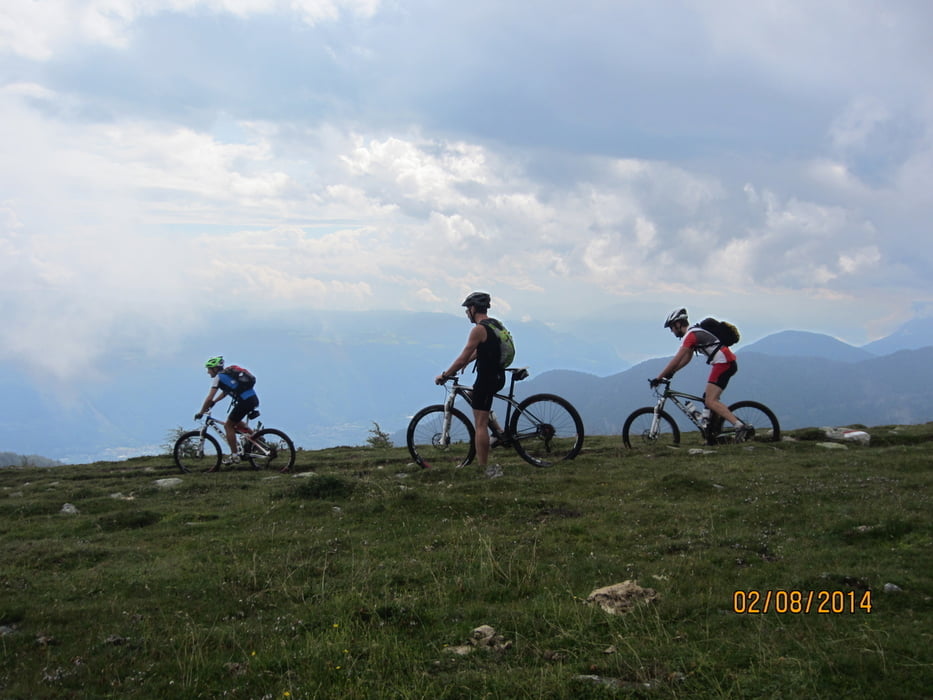
- 25,8 - 26,2 KM 1.881 - 1.981 MH (schieben) bis zum Steig, welcher am Südhang entlang in leichtem Auf und Ab zum Vigiljoch führt.
- Vom Vigiljoch Abfahrt auf Forststrassen, bzw. dem breiten Eggersteig zurück zum Ausgangspunkt nach Marling/Meran.
- Einkehr beim Gasthof Tschigg oberhalb von Marling (herrlicher Rundblick, köstliche Kuchen) ist nur zu empfehlen.
Tour gallery


Tour map and elevation profile
Minimum height 277 m
Maximum height 2023 m
More about the tour author
|
|
MargesinFriedrich |
Comments

GPS tracks
Trackpoints-
GPX / Garmin Map Source (gpx) download
-
TCX / Garmin Training Center® (tcx) download
-
CRS / Garmin Training Center® (crs) download
-
Google Earth (kml) download
-
G7ToWin (g7t) download
-
TTQV (trk) download
-
Overlay (ovl) download
-
Fugawi (txt) download
-
Kompass (DAV) Track (tk) download
-
Track data sheet (pdf) download
-
Original file of the author (gpx) download
More about the tour author
|
|
MargesinFriedrich |
Add to my favorites
Remove from my favorites
Edit tags
Open track
My score
Rate