


Eine feine Feierabendrunde mit Start in Wetzlar.
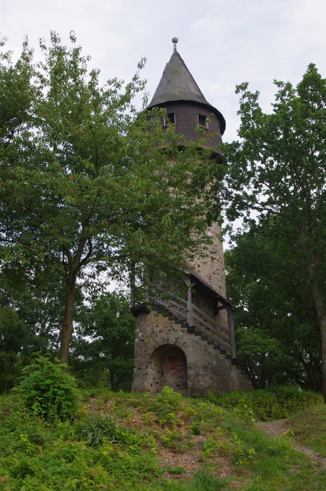
Ich bewegte mich vom Hotel Wetzlarer Hof in östlicher Richtung an chicen Villen vorbei hoch zum Bismarckturm. Der war leider eingezäunt und nicht begehbar. Also gleich weiter grob nach Süden und ich freute mich schon auf den nächsten Turm. Leider war die Tür des Bleistiftes (Brühsbacher Warthe) verschlossen und mein Aufstieg endete am oberen Ende der Treppe an der Tür.
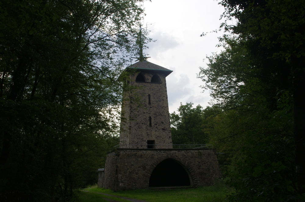
Also wieder gleich weiter nach Südost und dann auf den Stoppelberg. Der Turm war offen und ich genoß die Aussicht von der Plattform.
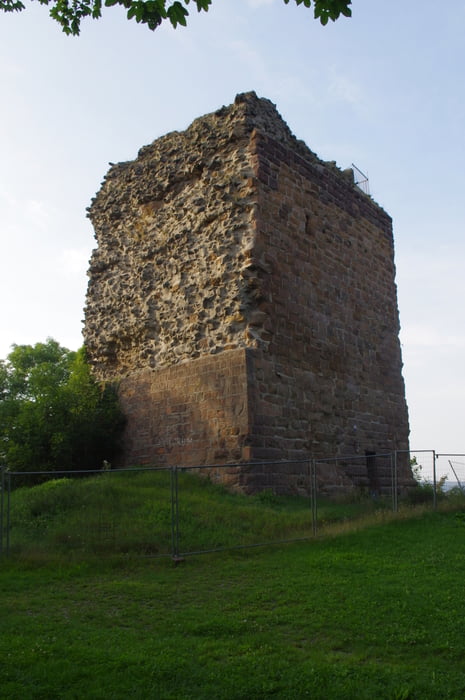
Ein steilerer Abstieg führte mich am Anfang schnell und dann etwas flacher in das Tal. Von dort stieg ich über das Hundspfädchen zur Ruine Kalsmunt hoch. Leider war hier der Turm ebenfalls nicht zugänglich. Allerdings war die Landschaft wieder sehr schön und so bestieg ich eben nur einen von vier Türmen.
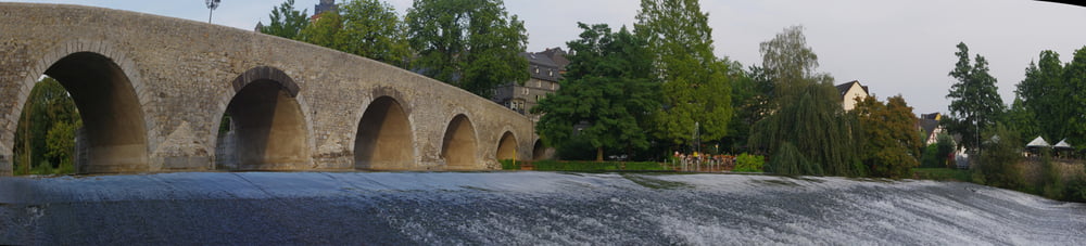
Ein letzter Abstieg und ich war an der Lahn und besorgte mir eine Pizza und trank im Biergarten zum Abschluß ein Radler.
Eine wirklich schöne Runde.
Further information at
http://www.wetzlar.de/Tour gallery
Tour map and elevation profile
Minimum height 157 m
Maximum height 416 m
More about the tour author
|
|
Pheinz |
Comments

Start ist direkt am Hotel Wetzlarer Hof.
GPS tracks
Trackpoints-
GPX / Garmin Map Source (gpx) download
-
TCX / Garmin Training Center® (tcx) download
-
CRS / Garmin Training Center® (crs) download
-
Google Earth (kml) download
-
G7ToWin (g7t) download
-
TTQV (trk) download
-
Overlay (ovl) download
-
Fugawi (txt) download
-
Kompass (DAV) Track (tk) download
-
Track data sheet (pdf) download
-
Original file of the author (gpx) download
More about the tour author
|
|
Pheinz |
Add to my favorites
Remove from my favorites
Edit tags
Open track
My score
Rate