


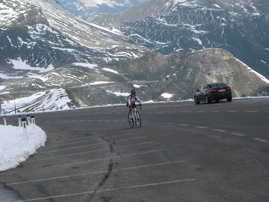
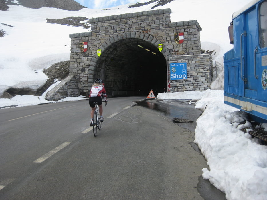
Von Dorfgastein nach Lend in Richtung Zell am See in Bruck abbiigen , dann nach Fusch und über die Großglockner Hochalpenstraße nach Heiligen Blut in Kärnten.
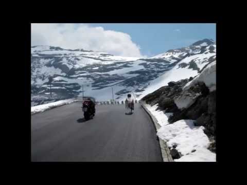
In Winklern abzweigen und durch das Mölltal (immer Gegenwind) bis Oberfelach, von dort geht es nochmals ca.8 km bergauf bis Malnitz..
Nun geht es mit der Tauernschleuse per Zug ins Gasteinertal von da geht es zum Ausgangspunkt Landhaus Johanna ih Dorfgastein.
Further information at
https://www.flickr.com/photos/landhaus_johanna/sets/Tour gallery

Tour map and elevation profile
Minimum height 655 m
Maximum height 2450 m
More about the tour author

|
uphill616 |
Comments

Autobahn von Salzburg oder Villach Abzweigung Bischofshofen und dann ins Gasteinertal oder mit der Tauernschleuse von Mallnitz ins Gastein, durch Gasteinertal bis Dorfgastein
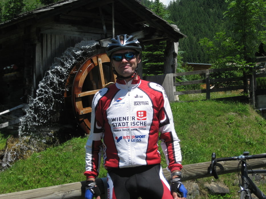
Ausgangspunkt Landhaus Johanna
GPS tracks
Trackpoints-
GPX / Garmin Map Source (gpx) download
-
TCX / Garmin Training Center® (tcx) download
-
CRS / Garmin Training Center® (crs) download
-
Google Earth (kml) download
-
G7ToWin (g7t) download
-
TTQV (trk) download
-
Overlay (ovl) download
-
Fugawi (txt) download
-
Kompass (DAV) Track (tk) download
-
Track data sheet (pdf) download
-
Original file of the author (gpx) download
More about the tour author
|
|
uphill616 |
Add to my favorites
Remove from my favorites
Edit tags
Open track
My score
Rate