


Bei dieser ambitionierten Radtour (einige Höhenmeter) starten wir in Bad Wildbad und verzichten auf den Aufstieg nach Sommerberg mit der Zahnradbahn.
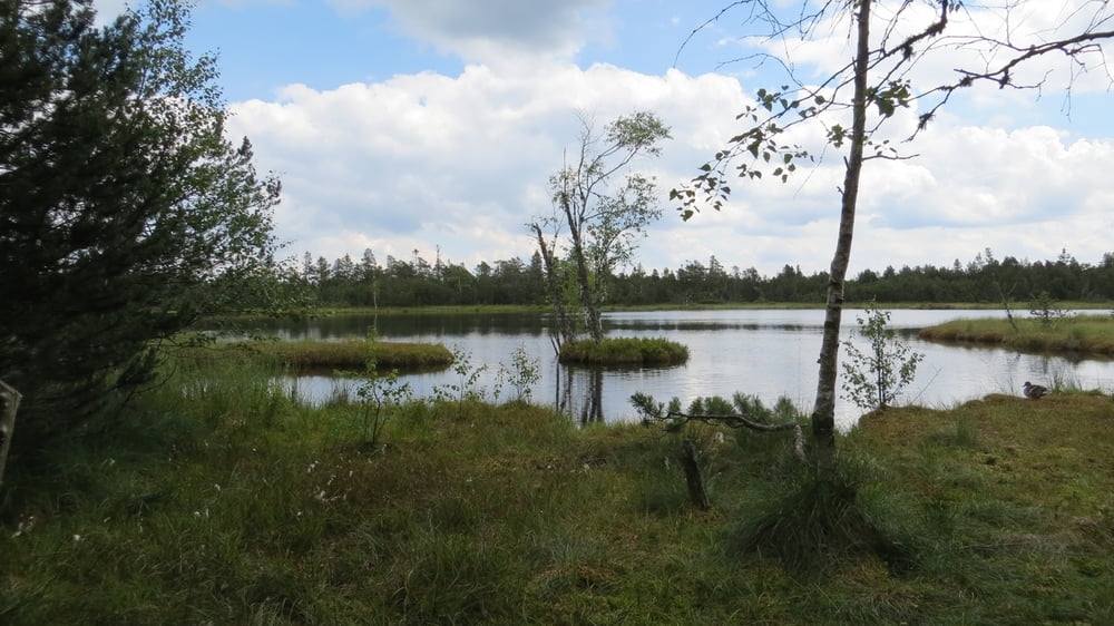
der Besuch des Hochmoors, dem Wildsee ist ein echtes highlight. Es ist das größte Moorgebiet in Deutschland und steht unter Naturschutz.
Das nächste highlight ist das Hohlohmuß, ebenfalls ein Moor und ein Naturschutzgebiet.
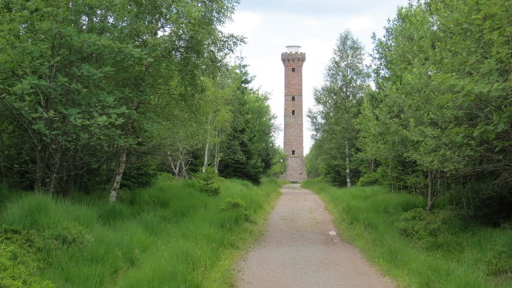
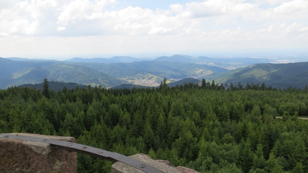
Weiter vorbei (und hinauf) am Hohlohturm mit Blick auf den Nordschwarzwald arbeiten wir uns über die Wasserscheide von Rhein und Donau (Schwazmiß) durch den Staatswald Kaltenbronn zum Quellgebiet der Eyach, die später in die Enz fließt.
Über Dobel geht es zurück durch das Enztal nach Bad Wildbad.
Tour gallery

Tour map and elevation profile
Minimum height 356 m
Maximum height 986 m
More about the tour author
|
|
Berndinho |
Comments

Bad Wildbad mit Bahn oder Auto
GPS tracks
Trackpoints-
GPX / Garmin Map Source (gpx) download
-
TCX / Garmin Training Center® (tcx) download
-
CRS / Garmin Training Center® (crs) download
-
Google Earth (kml) download
-
G7ToWin (g7t) download
-
TTQV (trk) download
-
Overlay (ovl) download
-
Fugawi (txt) download
-
Kompass (DAV) Track (tk) download
-
Track data sheet (pdf) download
-
Original file of the author (gpx) download
More about the tour author
|
|
Berndinho |
Add to my favorites
Remove from my favorites
Edit tags
Open track
My score
Rate