


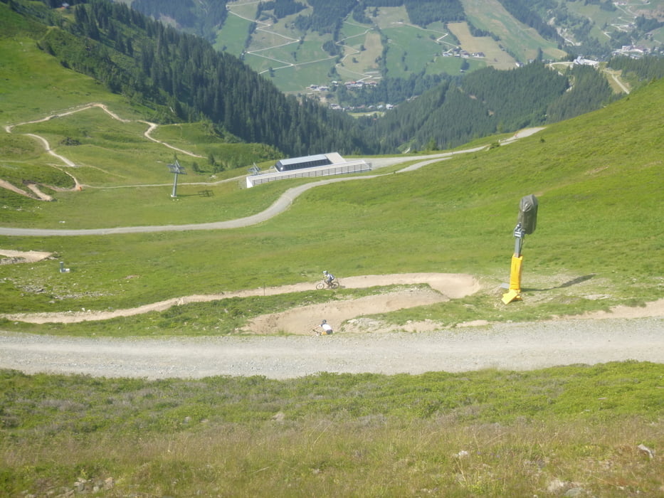
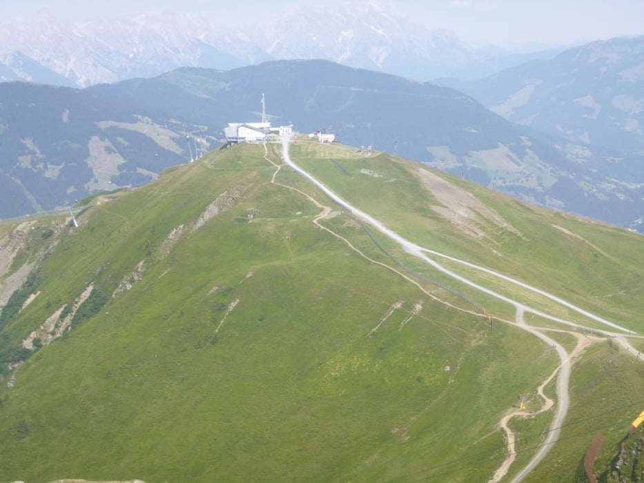
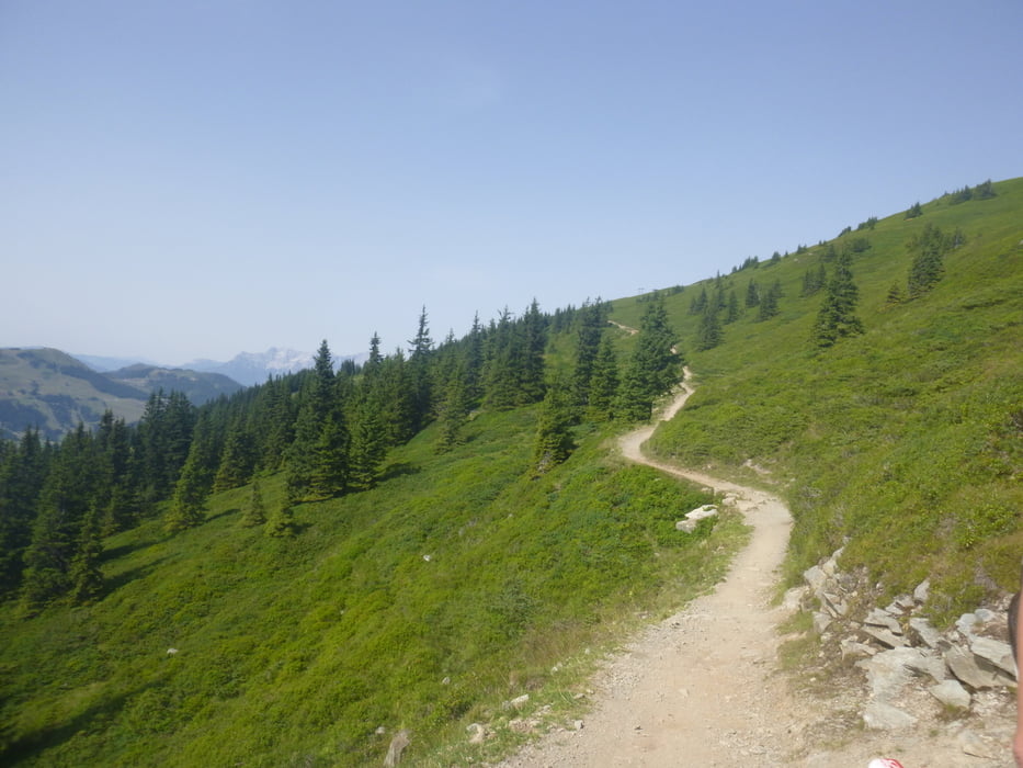
Absolut steile Aufstiege zum ersten Gipfel Schattberg Ost. Über eine Downhillstrecke runter zum Sattel und wieder hoch (sehr steil) zum Schattberg Westgipfel. Dort Abfahrt am Hackelbergtrail zur Hackelberghütte. Weiter Abfahrt auf einer Forststrasse. Jetzt neu geht auch ein Trail von der Hackelberghütte ins Tal.
Tour gallery
Tour map and elevation profile
Minimum height 912 m
Maximum height 2103 m
More about the tour author

|
matrix0470 |
Comments

Salzburg übers kleine Deutsche Eck nach Saalfelden. Weiter in Richtung Zell am See und vorher Rechts weg nach Saalbach- Hinterglemm. Parkmöglichkeiten beim Schattber X-press oder in Hinterglemm bei der Zwölferkogelbahn.
GPS tracks
Trackpoints-
GPX / Garmin Map Source (gpx) download
-
TCX / Garmin Training Center® (tcx) download
-
CRS / Garmin Training Center® (crs) download
-
Google Earth (kml) download
-
G7ToWin (g7t) download
-
TTQV (trk) download
-
Overlay (ovl) download
-
Fugawi (txt) download
-
Kompass (DAV) Track (tk) download
-
Track data sheet (pdf) download
-
Original file of the author (gpx) download
More about the tour author
|
|
matrix0470 |
Add to my favorites
Remove from my favorites
Edit tags
Open track
My score
Rate