Login

Forgotten password?

Cookies have to be accepted!
Your browser's cookie functionality is disabled. Please enable this functionality.

Not a member yet?

Register now
Login

Available for registred users only

Log in to use this feature.

Forgotten password?

Cookies have to be accepted!
Your browser's cookie functionality is disabled. Please enable this functionality.

Not a member yet?

Register now
Filter
Categories
Advanced filters
  • Distance (km)
  • Height
Save filters Reset filter

TrackRank

QRCode

Technical data

Distance68,4 km Height1683 m Way down1699 m Duration05:20 h:m Date27.09.2014
Scores Author User Landscape Fun factor Fitness Technique

Statistics

426 Views 1 Score 52 Downloads 5.00 Average
Rate
  • Track data sheet
  • Directions
  • Downloads

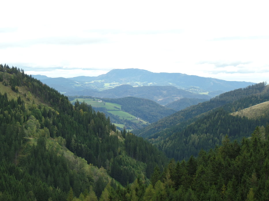
Wir sind in Gratkorn gestartet und über den Radweg nach Deutschfeistritz,weiter Richtung Übelbach-bei Waldstein geht es dann rechts dem Bach entlang bis zur Zöllerhütte-dann geht es wieder runter bis zur Autobahn-der nächste Anstieg ist zum Krautwasch-als Zugabe gibt es dann noch den Plesch bevor es über Trails nach Rein geht und zurück nach Gratkorn.


Tour gallery

Tour map and elevation profile

  • Open Street Map
  • Google
Minimum height 373 m Maximum height 1147 m Detailed view

More about the tour author

plazo100
Member since 2009

Send private message

Comments

Mountainbikegirl on 26.03.2015

Super

Super Tour hast die wieder mal zammen griessn

GPS tracks

Trackpoints
  • GPX / Garmin Map Source (gpx) download
  • TCX / Garmin Training Center® (tcx) download
  • CRS / Garmin Training Center® (crs) download
  • Google Earth (kml) download
  • G7ToWin (g7t) download
  • TTQV (trk) download
  • Overlay (ovl) download
  • Fugawi (txt) download
  • Kompass (DAV) Track (tk) download
  • Track data sheet (pdf) download
  • Original file of the author (gpx) download

More about the tour author

plazo100
Member since 2009

Send private message
Share track
Add to my favorites
Remove from my favorites
Edit tags
My score
Rate
Track: Dreimal über 1000m......
Type: Mountain bike
Distance: 68,4 km
Evaluated on:
Duration:
Day(s)
Hour(s)
Minute(s)
Score: Landscape Fun factor Fitness Technique