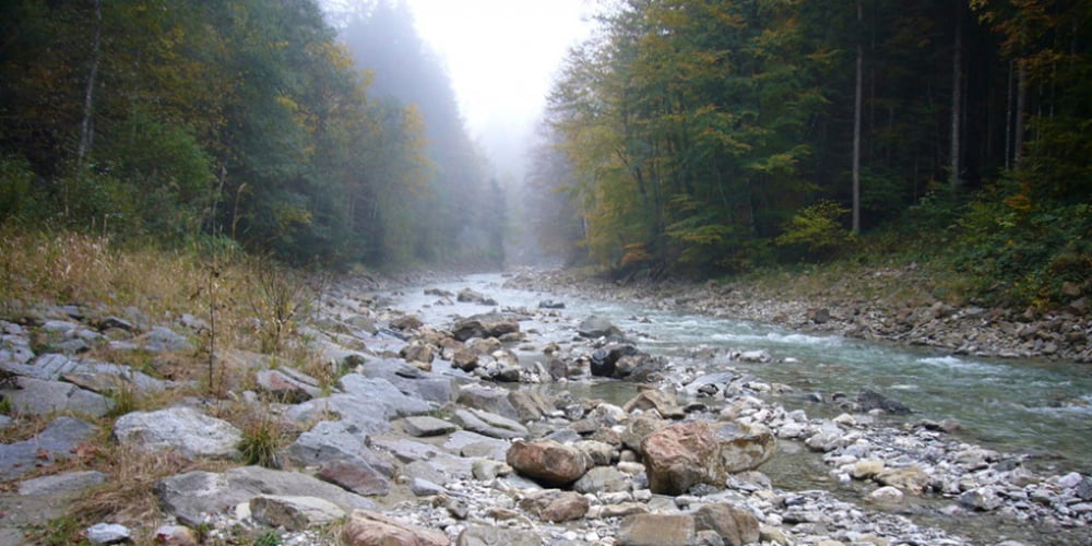
Nach dem Unternogg habe ich einen neuen Weg zur Wasserscheide gesucht.
Im Navi ist dieser als Fußweg eingezeichnet, in der Realität mußte ich aber ca. 500 m durch den Klammbach, teils bis zum Knie im Wasser laufen.
Bei 15° Außenthemperatur nicht lustig!
ACHTUNG: Nach starkem Regen nicht zu empfehlen.
PS:
GPS Punkt Landsberg/Trauchgau ignorieren.
Real nur 33km
Tour map and elevation profile
Minimum height 556 m
Maximum height 853 m
Comments

Trauchgau
GPS tracks
Trackpoints-
GPX / Garmin Map Source (gpx) download
-
TCX / Garmin Training Center® (tcx) download
-
CRS / Garmin Training Center® (crs) download
-
Google Earth (kml) download
-
G7ToWin (g7t) download
-
TTQV (trk) download
-
Overlay (ovl) download
-
Fugawi (txt) download
-
Kompass (DAV) Track (tk) download
-
Track data sheet (pdf) download
-
Original file of the author (gpx) download
Add to my favorites
Remove from my favorites
Edit tags
Open track
My score
Rate

