


Oberstdorf - Vier Täler Tour
Start in Kierwang
Ziel in Kierwang
Tourenbeschreibung:
von Kierwang aus auf Teer nach Fischen - hier über die Iller weiter Richtung Reichenbach - steil bergauf Richtung Gaisalpe - vor Gaisalpkapelle 180° Kurve rechts auf Schotter auf Wallraffweg Richtung Oberstdorf - bei Skisprungarena Einmündung auf Teerstraße links bergauf Richtung Nebelhorn Mittelstation - weiter auf Teer bis Mittelstation Nebelhornbahn - an Mittelstation vorbei weiter Richtung nächste Alpe - oberhalb Alpe vorbei auf Schotter zurück Richtung Oberstdorf - weiter auf schmalen Pfaden und herrlichen Trails bis oberhalb Skisprungarena - weiter leicht bergauf auf Teer ins Oytal - hier 180° Kurve und auf Schotter und schmalen Pfaden zurück Richtung Gruben - an Gruben vorbei Richtung Spielmannsau
Zusatz (ca. 300Hm) : vor Spielmannsau links ins Traufbachtal und weiter auf Schotter zurück in Trettachtal
Spielmannsau weiter bis Talende - hier flussabwärts RECHTS auf schmalen Pfaden zurück - bei Markierung Flussdurchquerung und weiter zurück auf schmalen Pfaden Richtung Oberstdorf - über Burgstall und Langlaufarena ins Stillachtal Richtung Talstation Fellhornbahn - an Talstation vorbei und bei Speichersee rechts steil hoch - rechts über Brücke, kurze Tragepasse weiter auf Schotter nach oben - auf Teerstraße abwärts bis Schwand - über Freibergsee zur Talstation Söllereckbahn - weiter Kornau über Breitachbrücke Richtung Tiefenbach und Obermaiselstein zurück nach Kierwang
Tour entspricht Teilweise der kleinen Marathon Runde beim Oberstdorf Marathon
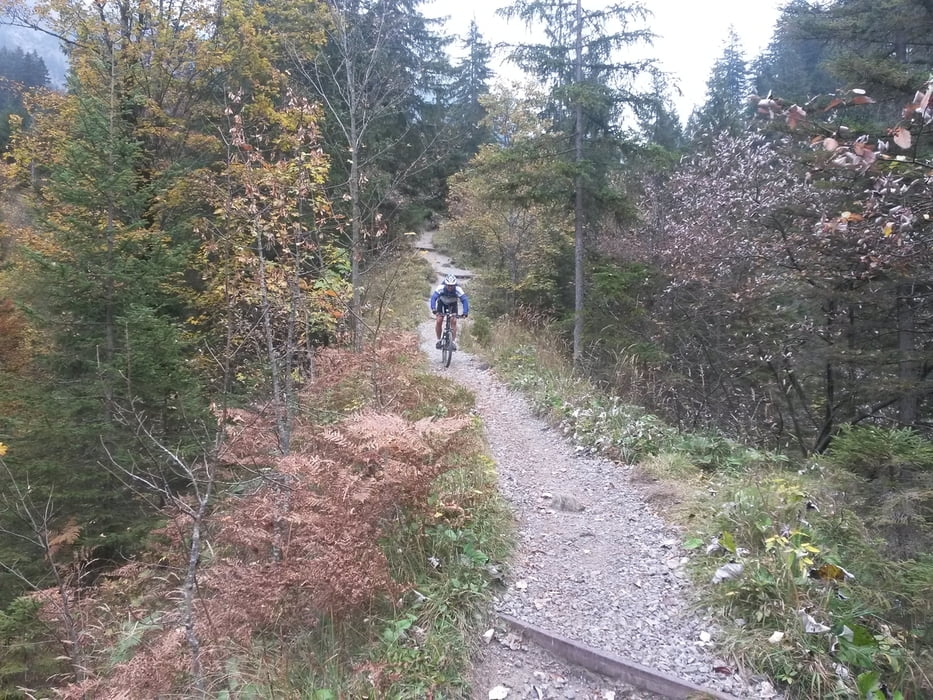
Tour gallery
Tour map and elevation profile
Minimum height 764 m
Maximum height 1365 m
More about the tour author
|
|
schmidt-markus1 |
Comments

GPS tracks
Trackpoints-
GPX / Garmin Map Source (gpx) download
-
TCX / Garmin Training Center® (tcx) download
-
CRS / Garmin Training Center® (crs) download
-
Google Earth (kml) download
-
G7ToWin (g7t) download
-
TTQV (trk) download
-
Overlay (ovl) download
-
Fugawi (txt) download
-
Kompass (DAV) Track (tk) download
-
Track data sheet (pdf) download
-
Original file of the author (gpx) download
More about the tour author
|
|
schmidt-markus1 |
Add to my favorites
Remove from my favorites
Edit tags
Open track
My score
Rate