Login

Forgotten password?

Cookies have to be accepted!
Your browser's cookie functionality is disabled. Please enable this functionality.

Not a member yet?

Register now
Login

Available for registred users only

Log in to use this feature.

Forgotten password?

Cookies have to be accepted!
Your browser's cookie functionality is disabled. Please enable this functionality.

Not a member yet?

Register now
Filter
Categories
Advanced filters
  • Distance (km)
  • Height
Save filters Reset filter

TrackRank

QRCode

Technical data

Distance22,7 km Height535 m Way down535 m Duration01:35 h:m Date19.10.2014
Scores Author Landscape Fun factor Fitness Technique

Statistics

337 Views 1 Score 53 Downloads 5.00 Average
Rate
  • Track data sheet
  • Directions
  • Downloads

- basierend auf der Tour von 4-Seasons-MTB

- nicht fahrbare und nicht mehr zugängliche Wege überarbeitet
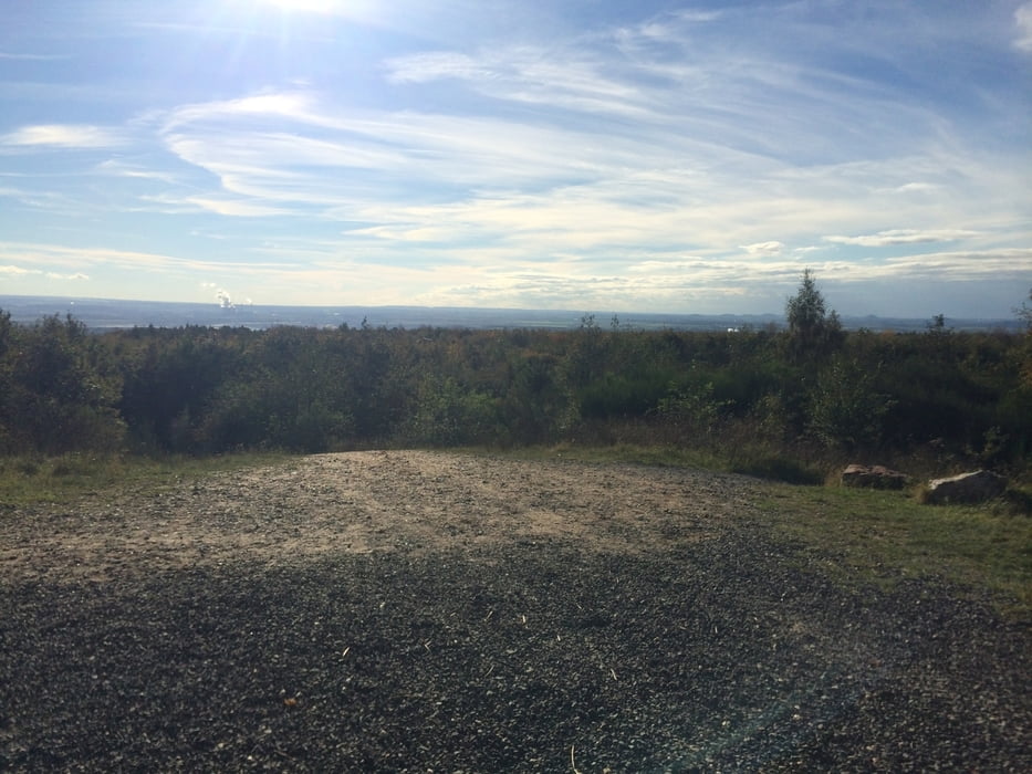
 

Tour gallery

Tour map and elevation profile

  • Open Street Map
  • Google
Minimum height 88 m Maximum height 288 m Detailed view

More about the tour author

EarlOfImages
Member since 2014

Send private message

Comments

CAbendroth on 24.05.2020

Sophienhöhe 2.0

Bei km 15,5 muss ein Umweg gefahren werden, da der Track durch Bäume und Geröllhaufen versperrt ist. Es sind aber nur 50-100m. Die eingestreuten Tracks machen diese Tour sehr abwechslungsreich. Danke fürs teilen.

- Start und Ziel ist der Parkplatz bei Stetternich an der Sophienhöhe

- Fahrtrichtung: Am Stetternicher Parkplatz direkt die Auffahrten nach oben nehmen

GPS tracks

Trackpoints
  • GPX / Garmin Map Source (gpx) download
  • TCX / Garmin Training Center® (tcx) download
  • CRS / Garmin Training Center® (crs) download
  • Google Earth (kml) download
  • G7ToWin (g7t) download
  • TTQV (trk) download
  • Overlay (ovl) download
  • Fugawi (txt) download
  • Kompass (DAV) Track (tk) download
  • Track data sheet (pdf) download
  • Original file of the author (gpx) download

More about the tour author

EarlOfImages
Member since 2014

Send private message
Share track
Add to my favorites
Remove from my favorites
Edit tags
My score
Rate
Track: Sophienhöhe 2.0
Type: Mountain bike
Distance: 22,7 km
Evaluated on:
Duration:
Day(s)
Hour(s)
Minute(s)
Score: Landscape Fun factor Fitness Technique