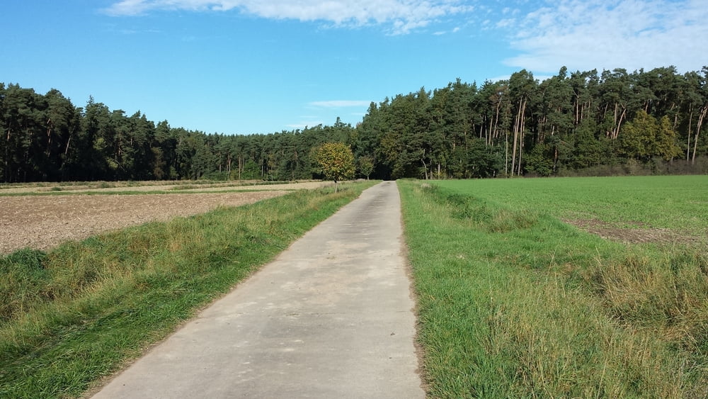
MTB-Tour von westlich von Schwabach, überwiegend auf Forstwegen und ab und an Wanderwege. Die Trails sind auch für Anfänger überwiegend gut zu fahren (S1 - S2).
Tour gallery
Tour map and elevation profile
Minimum height 328 m
Maximum height 408 m
Comments

Schwabach liegt ca. 15 km südwestlich von Nürnberg, direkt an der Autobahn A6. Ausfahrt Schwabach West nehmen. Parken am besten in der Waikersreuther Strasse an der Lebenshilfe oder an der Realschule.
GPS tracks
Trackpoints-
GPX / Garmin Map Source (gpx) download
-
TCX / Garmin Training Center® (tcx) download
-
CRS / Garmin Training Center® (crs) download
-
Google Earth (kml) download
-
G7ToWin (g7t) download
-
TTQV (trk) download
-
Overlay (ovl) download
-
Fugawi (txt) download
-
Kompass (DAV) Track (tk) download
-
Track data sheet (pdf) download
-
Original file of the author (gpx) download
Add to my favorites
Remove from my favorites
Edit tags
Open track
My score
Rate


