Login

Forgotten password?

Cookies have to be accepted!
Your browser's cookie functionality is disabled. Please enable this functionality.

Not a member yet?

Register now
Login

Available for registred users only

Log in to use this feature.

Forgotten password?

Cookies have to be accepted!
Your browser's cookie functionality is disabled. Please enable this functionality.

Not a member yet?

Register now
Filter
Categories
Advanced filters
  • Distance (km)
  • Height
Save filters Reset filter

TrackRank

QRCode

Technical data

Distance6,1 km Height508 m Way down508 m Duration00:00 h:m Date22.10.2014
Scores Author Landscape Fun factor Fitness Technique

Statistics

252 Views Scores 9 Downloads Average
Rate
  • Track data sheet
  • Directions
  • Downloads

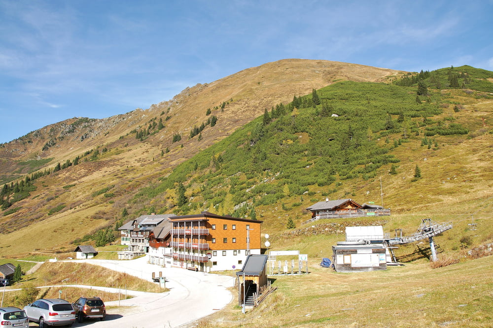
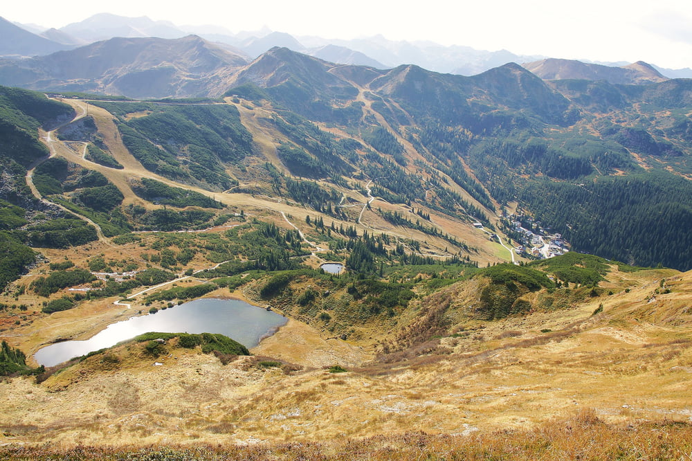
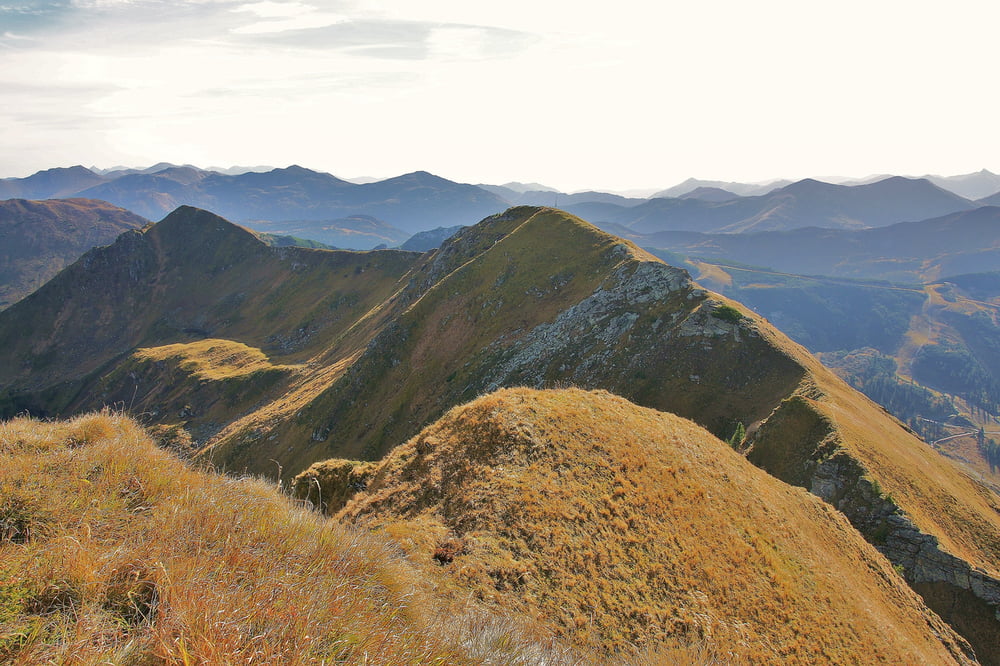
Die Planneralm ist ab Mitte Juni bis Oktober ein Paradies für Bergwanderer. Vor allem die nahen Grate rund um die Planneralm laden dazu ein auf diesen stundenlang entlang zu wandern und dabei die wunderschöne Aussicht zu genießen.

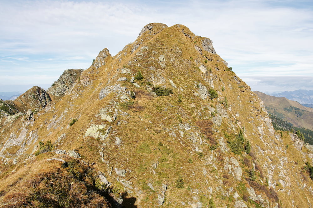
Die Wanderung zu den beiden Gstemmerspitzen ist nur bei trockenem Boden empfehlenswert, da der Wanderweg im steilen Gelände sehr schmal ist und daneben sehr viel Gras wächst. Leider hat es in den vergangenen Jahren ein paar tödliche Bergunfälle gegeben, wo Wanderer auf dem nassen Gras ausgerutscht und abgestürzt sind.

weitere Infos und Fotos findest du auf biketours4you.at

Tour gallery

Tour map and elevation profile

  • Open Street Map
  • Google
Minimum height 1588 m Maximum height 2060 m Detailed view

More about the tour author

Trek1400d
Member since 2008

Send private message

Comments

Anfahrt durch das Ennstal bis nach Trautenfels und dann bei der Kreuzung an der Bundesstraße südwärts nach Irdning und Donnersbach. In Donnersbach Abzweig nach links auf die 12 km lange Planneralm Alpenstraße bis zur Hotelsiedlung Planneralm. Öffentliche Parkplätze in großer Anzahl vorhanden.

GPS tracks

Trackpoints
  • GPX / Garmin Map Source (gpx) download
  • TCX / Garmin Training Center® (tcx) download
  • CRS / Garmin Training Center® (crs) download
  • Google Earth (kml) download
  • G7ToWin (g7t) download
  • TTQV (trk) download
  • Overlay (ovl) download
  • Fugawi (txt) download
  • Kompass (DAV) Track (tk) download
  • Track data sheet (pdf) download
  • Original file of the author (gpx) download

More about the tour author

Trek1400d
Member since 2008

Send private message
Share track
Add to my favorites
Remove from my favorites
Edit tags
My score
Rate
Track: Gstemmerspitzen
Type: Hiking
Distance: 6,1 km
Evaluated on:
Duration:
Day(s)
Hour(s)
Minute(s)
Score: Landscape Fun factor Fitness Technique