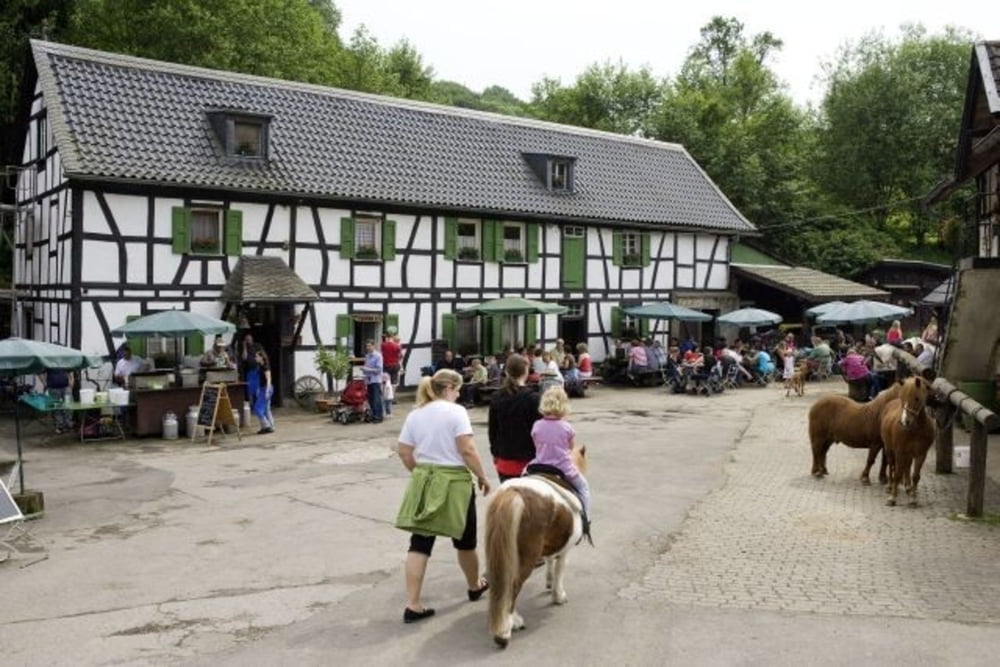
Rundwanderweg vom Bahnhof Rösrath aus:
vorbei am Haus Eulenbroich - Menzlingen - Kupfersiefener Mühle - Rodderhof - Gammersbacher Mühle - Bauerngut Schiefelbusch - Hofferhof
Der erste Teil bis Gammersbacher Mühle ist durch Wegzeichen ">" gekennzeichnet
Eine ausführliche Tourenbeschreibung inkl. Einkehrmöglichkeiten gibt es bei:
Doro und Rainer Gottwald, Alles im Wanderland 2, Köln 2002 (Bachem Verlag) S. 88-101
Tour gallery
Tour map and elevation profile
Minimum height 58 m
Maximum height 215 m
Comments

Mit der Regionalbahn Richtung Marienheide von Köln Hauptbahnhof bis Bahnhof Rösrath in circa 19 Minuten
GPS tracks
Trackpoints-
GPX / Garmin Map Source (gpx) download
-
TCX / Garmin Training Center® (tcx) download
-
CRS / Garmin Training Center® (crs) download
-
Google Earth (kml) download
-
G7ToWin (g7t) download
-
TTQV (trk) download
-
Overlay (ovl) download
-
Fugawi (txt) download
-
Kompass (DAV) Track (tk) download
-
Track data sheet (pdf) download
-
Original file of the author (gpx) download
Add to my favorites
Remove from my favorites
Edit tags
Open track
My score
Rate


