Login

Forgotten password?

Cookies have to be accepted!
Your browser's cookie functionality is disabled. Please enable this functionality.

Not a member yet?

Register now
Login

Available for registred users only

Log in to use this feature.

Forgotten password?

Cookies have to be accepted!
Your browser's cookie functionality is disabled. Please enable this functionality.

Not a member yet?

Register now
Filter
Categories
Advanced filters
  • Distance (km)
  • Height
Save filters Reset filter

TrackRank

QRCode

Technical data

Distance143,7 km Height2802 m Way down3227 m Duration3 days 0 h Date01.01.2015
Scores Author Landscape Fun factor Fitness Technique

Statistics

1042 Views 1 Score 66 Downloads 5.00 Average
Rate
  • Track data sheet
  • Directions
  • Downloads

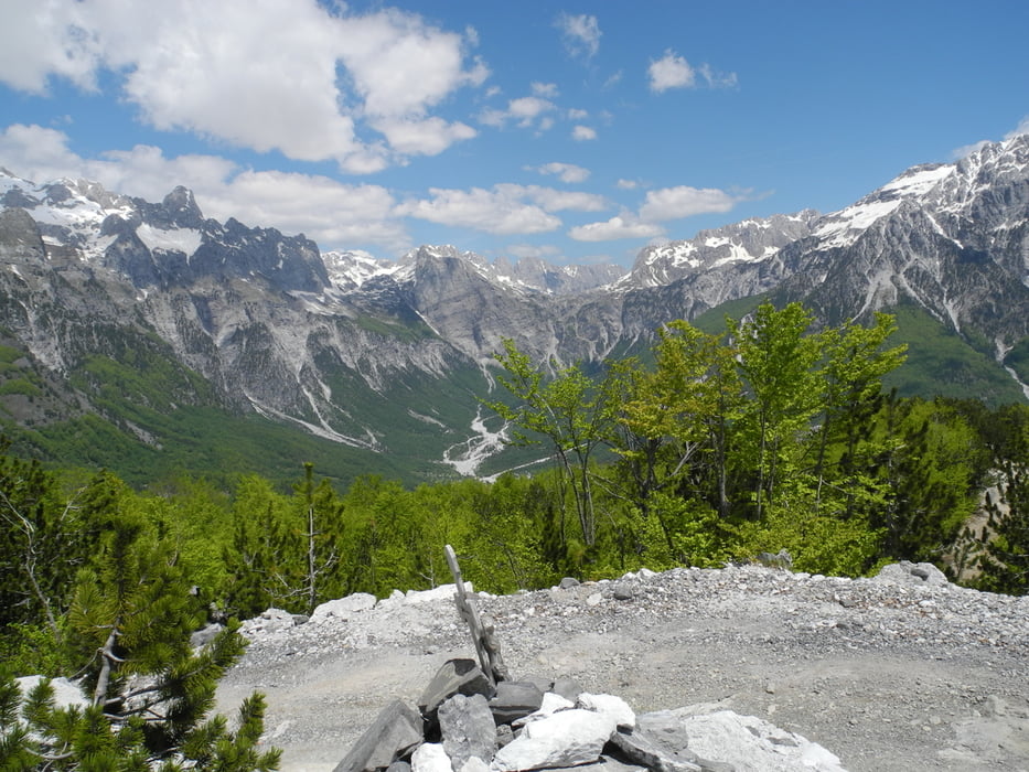
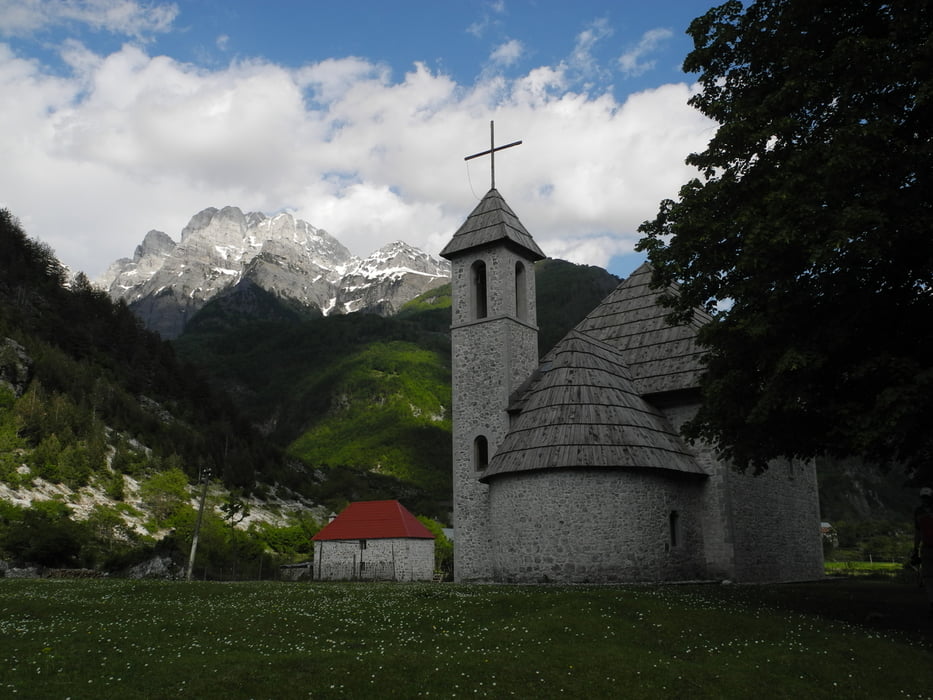
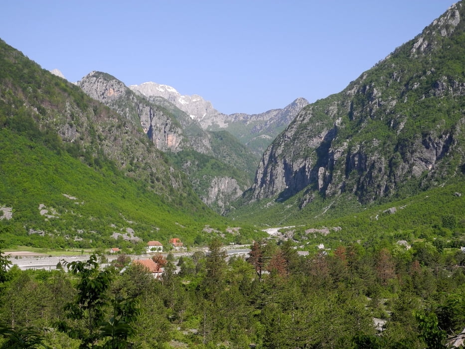
Mountainbike Tour in der herrlichen Natur Nordalbaniens. Beginnend in Plav in Montenegro gehts ins albanische Valbonatal über abenteuerliche Straßen und durch phantastische Schluchten nach Selce und Tamara weiter über Zagore nach Boge und über den Thores Paß nach Theth bis nach Nderlysai  im Shalatal.


Tour gallery

Tour map and elevation profile

  • Open Street Map
  • Google
Minimum height 173 m Maximum height 1657 m Detailed view

More about the tour author

hutti
Member since 2009

Send private message

Comments

GPS tracks

Trackpoints
  • GPX / Garmin Map Source (gpx) download
  • TCX / Garmin Training Center® (tcx) download
  • CRS / Garmin Training Center® (crs) download
  • Google Earth (kml) download
  • G7ToWin (g7t) download
  • TTQV (trk) download
  • Overlay (ovl) download
  • Fugawi (txt) download
  • Kompass (DAV) Track (tk) download
  • Track data sheet (pdf) download
  • Original file of the author (gpx) download

More about the tour author

hutti
Member since 2009

Send private message
Share track
Add to my favorites
Remove from my favorites
Edit tags
My score
Rate
Track: Nordalbanien
Type: Mountain bike
Distance: 143,7 km
Evaluated on:
Duration:
Day(s)
Hour(s)
Minute(s)
Score: Landscape Fun factor Fitness Technique