Login

Forgotten password?

Cookies have to be accepted!
Your browser's cookie functionality is disabled. Please enable this functionality.

Not a member yet?

Register now
Login

Available for registred users only

Log in to use this feature.

Forgotten password?

Cookies have to be accepted!
Your browser's cookie functionality is disabled. Please enable this functionality.

Not a member yet?

Register now
Filter
Categories
Advanced filters
  • Distance (km)
  • Height
Save filters Reset filter

TrackRank

QRCode

Technical data

Distance8,0 km Height254 m Way down257 m Duration02:15 h:m Date09.01.2015
Scores Author Landscape Fun factor Fitness Technique

Statistics

491 Views Scores 86 Downloads Average
Rate
  • Track data sheet
  • Directions
  • Downloads

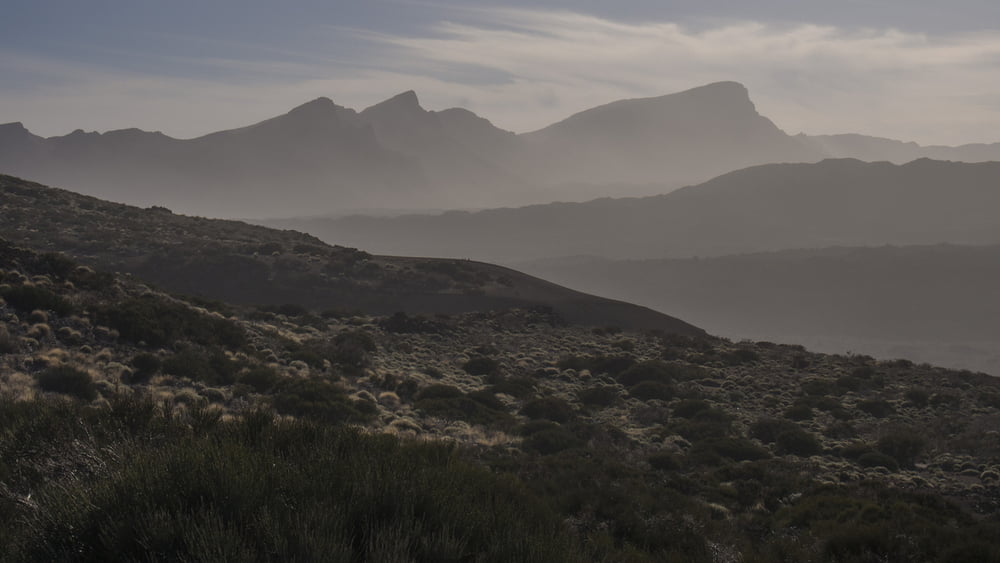
Der Sendero 2 des Teide-Nationalparks beginnt direkt am Besucherzentrum El Portillo. Es ist eine aussichtsreiche leichte Halbtageswanderung auf i.d.R. relativ guten Wegen. Immer wieder bieten sich fantastische Ausblicke in die Canadas und auf den Teide. Der Abstieg von der Montana Arenas Negra über einen steilen rutschigen Hang aus fester schwarzer Asche erfordert jedoch Aufmerksamkeit und Trittsicherheit.

Gut verbinden lässt sich die Wanderung mit einem Besuch im Besucherzentrum und im angeschlossenen Garten.

PS: zum Fotografieren ist das Licht am Vormittag günstiger


Tour gallery

Tour map and elevation profile

  • Open Street Map
  • Google
Minimum height 2041 m Maximum height 2285 m Detailed view

More about the tour author

ds5
Member since 2008

Send private message

Comments

Wir parken am Besucherzentrum El Portillo an der TF-21 im Nationalpark Teide.

Anfahrt
von Santa Cruz über die TF-24, sonst TF-21

Die Tour ist zwar auch per Bus machbar, der fährt allerdings recht selten.


GPS tracks

Trackpoints
  • GPX / Garmin Map Source (gpx) download
  • TCX / Garmin Training Center® (tcx) download
  • CRS / Garmin Training Center® (crs) download
  • Google Earth (kml) download
  • G7ToWin (g7t) download
  • TTQV (trk) download
  • Overlay (ovl) download
  • Fugawi (txt) download
  • Kompass (DAV) Track (tk) download
  • Track data sheet (pdf) download
  • Original file of the author (gpx) download

More about the tour author

ds5
Member since 2008

Send private message
Share track
Add to my favorites
Remove from my favorites
Edit tags
My score
Rate
Track: 141225 Canadas del Teide - Arenas Negras
Type: Hiking
Distance: 8,0 km
Evaluated on:
Duration:
Day(s)
Hour(s)
Minute(s)
Score: Landscape Fun factor Fitness Technique