Login

Forgotten password?

Cookies have to be accepted!
Your browser's cookie functionality is disabled. Please enable this functionality.

Not a member yet?

Register now
Login

Available for registred users only

Log in to use this feature.

Forgotten password?

Cookies have to be accepted!
Your browser's cookie functionality is disabled. Please enable this functionality.

Not a member yet?

Register now
Filter
Categories
Advanced filters
  • Distance (km)
  • Height
Save filters Reset filter

TrackRank

QRCode

Technical data

Distance55,9 km Height1610 m Way down1531 m Duration08:00 h:m Date13.01.2015
Scores Author Landscape Fun factor Fitness Technique

Statistics

860 Views Scores 60 Downloads Average
Rate
  • Track data sheet
  • Directions
  • Downloads

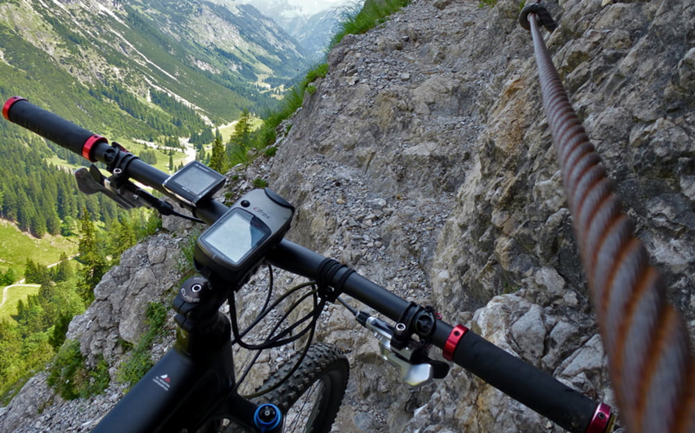
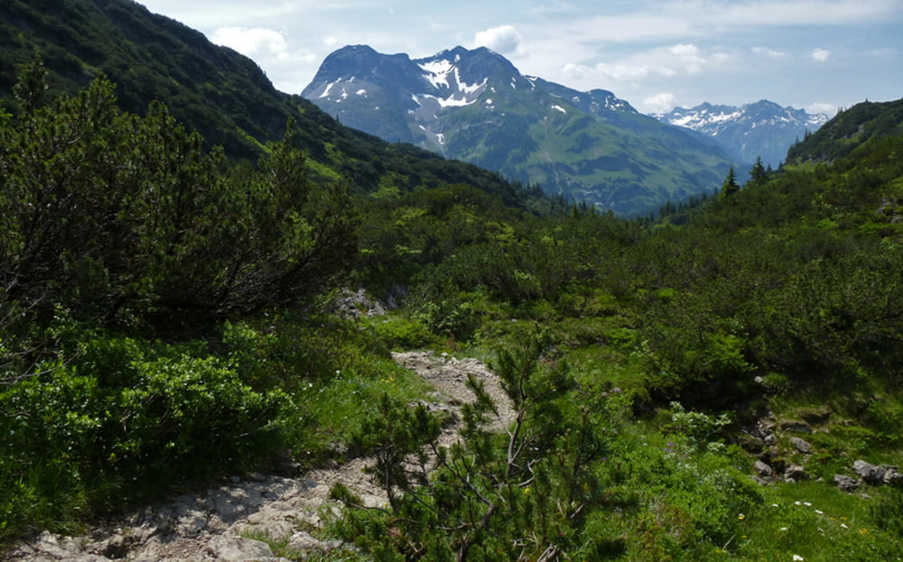
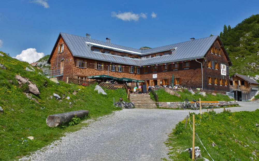
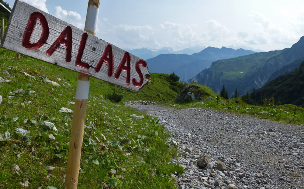
Oberstdorf - Rappenalptal - Schrofenpass - Warth - Lech - Zug - Formarinsee - Freiburger Hütte - Dalaas

weitere Fotos und ausführlicher Tourbericht auf:
www.alpenx-xl.de/2013/13_04_ax1schrofenpass/13_04_ax1schrofenpass.php

Further information at

http://www.AlpenX-XL.de/

Tour gallery

Tour map and elevation profile

  • Open Street Map
  • Google
Minimum height 805 m Maximum height 1914 m Detailed view

More about the tour author

AlpenX-XL.de
Member since 2007

Send private message

Comments

GPS tracks

Trackpoints
  • GPX / Garmin Map Source (gpx) download
  • TCX / Garmin Training Center® (tcx) download
  • CRS / Garmin Training Center® (crs) download
  • Google Earth (kml) download
  • G7ToWin (g7t) download
  • TTQV (trk) download
  • Overlay (ovl) download
  • Fugawi (txt) download
  • Kompass (DAV) Track (tk) download
  • Track data sheet (pdf) download
  • Original file of the author (gpx) download

More about the tour author

AlpenX-XL.de
Member since 2007

Send private message
Share track
Add to my favorites
Remove from my favorites
Edit tags
My score
Rate
Track: Alpencross / AlpenX 2013 1. Tag / Schrofenpass
Type: Mountain bike
Distance: 55,9 km
Evaluated on:
Duration:
Day(s)
Hour(s)
Minute(s)
Score: Landscape Fun factor Fitness Technique