
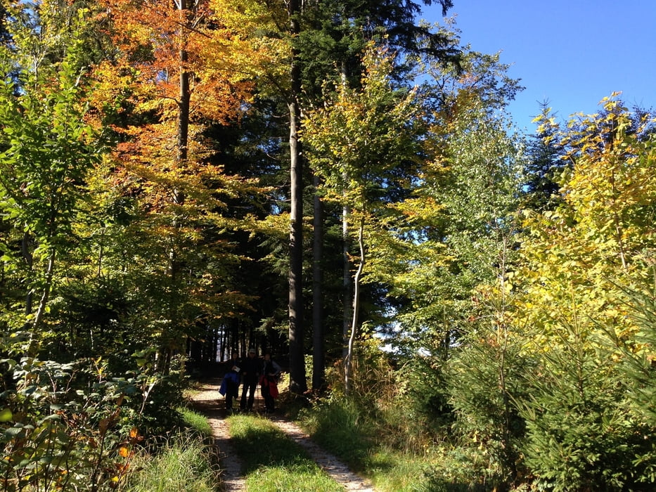

Eine leichte Bergwanderung, geschaffen für die ganze Familie. Der Wanderweg führt uns auf den Hacklberg, der seinen langgezogenen Höhenrücken vom Almtal bei Vichtwang bis ins Laudachtal schiebt. Etwas mühsam ist nur der dreiviertelstündige Aufstieg auf die Kammhöhe. Alles andere ist Wandergenuss pur. Ein großartiger Höhenweg durch aufgelockerte Wälder und über liebliche Bergwiesen hinüber nach St. Konrad und ein romantischer Rückweg im Talgrund des Kotbaches.
Tour map and elevation profile
Minimum height 453 m
Maximum height 763 m
More about the tour author
|
|
5schrittezZ |
Comments

A 1 Abfahrt Vorchdorf bzw. A 9 Abfahrt Ried nach Petenbach und B 120 Scharnsteindorf.
Parkmöglichkeit: Gh. Schobermühle, an der B 120 bei km 14,6 - Parkplätze links vom Haus bei den Stockbahnen. Dienstag/Mittwoch Sperrtag.
GPS an Bord?
4644 Scharnstein, In der Au 1
GPS tracks
Trackpoints-
GPX / Garmin Map Source (gpx) download
-
TCX / Garmin Training Center® (tcx) download
-
CRS / Garmin Training Center® (crs) download
-
Google Earth (kml) download
-
G7ToWin (g7t) download
-
TTQV (trk) download
-
Overlay (ovl) download
-
Fugawi (txt) download
-
Kompass (DAV) Track (tk) download
-
Track data sheet (pdf) download
-
Original file of the author (gpx) download
More about the tour author
|
|
5schrittezZ |
Add to my favorites
Remove from my favorites
Edit tags
Open track
My score
Rate