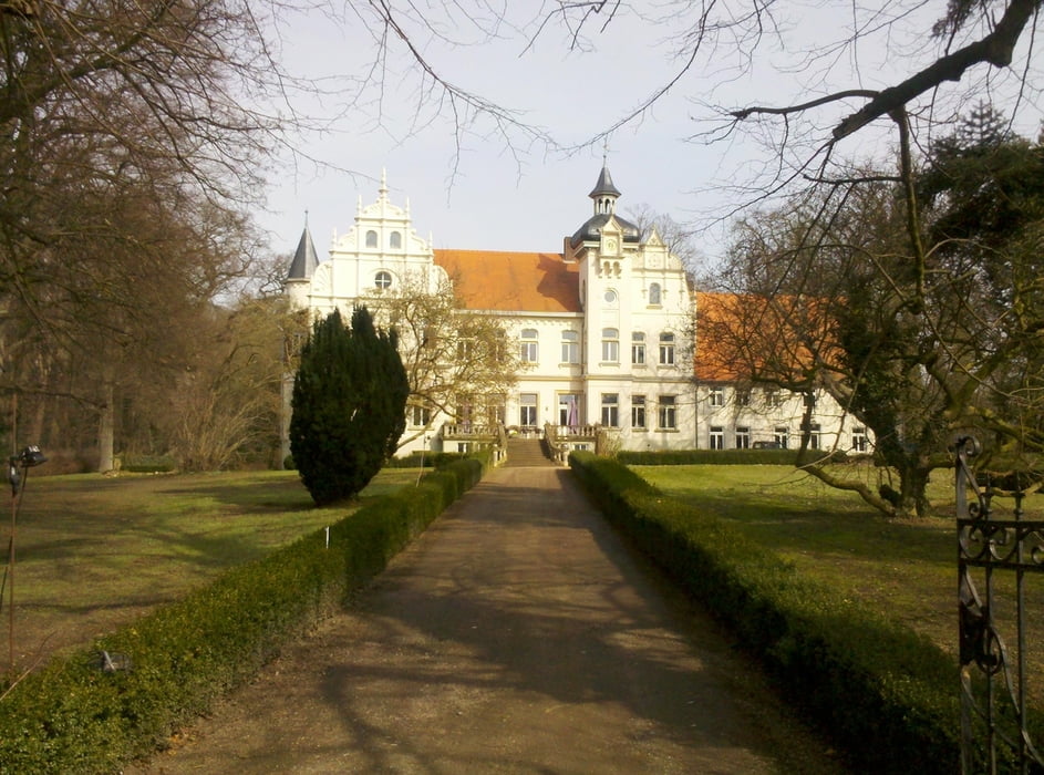
Start/Ziel ist der Bahnhof in Lübbecke
Um starke Anstiege zu vermeiden, habe ich die Tour im letzten Viertel abgekürzt. Anstatt im Ortsteil „Blasheim“ rechts in die Straße „In der Lehmkuhle“ abzubiegen, bin ich geradeaus weitergefahren und bin nach dem Bahnübergang links in den „Bahnweg“ gefahren. An der Kreuzung Hamkerweg/Westerbachstraße wird dann der Landweg wieder erreicht.
Further information at
http://www.luebbecke.de/Freizeit-Tourismus/Radrouten-Wanderwege#LandwegTour map and elevation profile
Minimum height 51 m
Maximum height 124 m
Comments

GPS tracks
Trackpoints-
GPX / Garmin Map Source (gpx) download
-
TCX / Garmin Training Center® (tcx) download
-
CRS / Garmin Training Center® (crs) download
-
Google Earth (kml) download
-
G7ToWin (g7t) download
-
TTQV (trk) download
-
Overlay (ovl) download
-
Fugawi (txt) download
-
Kompass (DAV) Track (tk) download
-
Track data sheet (pdf) download
-
Original file of the author (gpx) download
Add to my favorites
Remove from my favorites
Edit tags
Open track
My score
Rate

