Login

Forgotten password?

Cookies have to be accepted!
Your browser's cookie functionality is disabled. Please enable this functionality.

Not a member yet?

Register now
Login

Available for registred users only

Log in to use this feature.

Forgotten password?

Cookies have to be accepted!
Your browser's cookie functionality is disabled. Please enable this functionality.

Not a member yet?

Register now
Filter
Categories
Advanced filters
  • Distance (km)
  • Height
Save filters Reset filter

TrackRank

QRCode

Technical data

Distance28,8 km Height602 m Way down610 m Duration00:00 h:m Date27.03.2015
Scores Author Landscape Fun factor Fitness Technique

Statistics

542 Views 1 Score 87 Downloads 3.00 Average
Rate
  • Track data sheet
  • Directions
  • Downloads
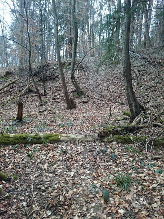
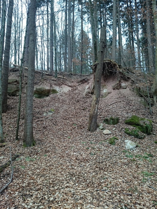
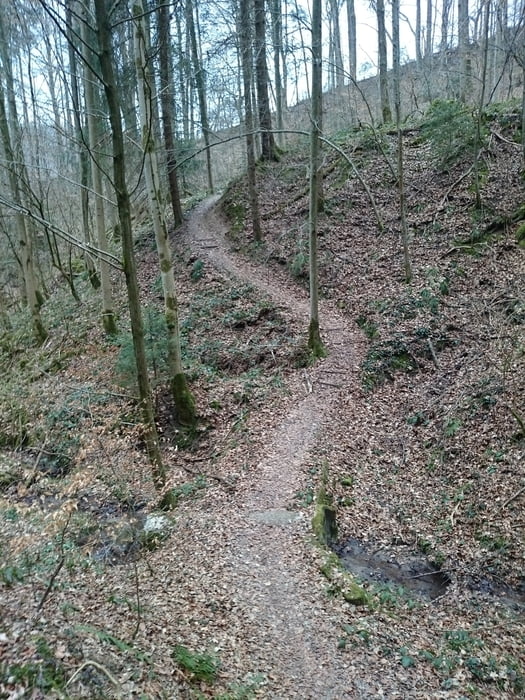
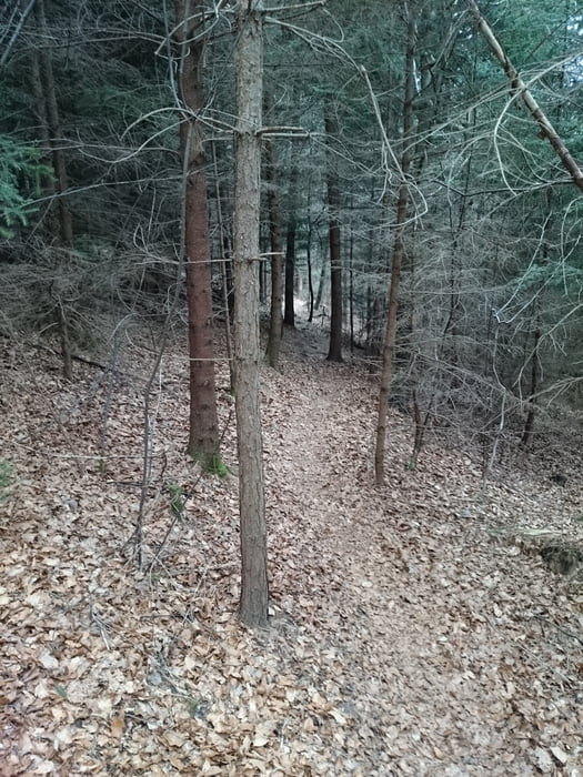
Steiler Anstieg die ersten 240Hm viele Trails Sprünge Klingen Drops für jeden was dabei.Sehr Abwechslungsreich.

Tour gallery

Tour map and elevation profile

  • Open Street Map
  • Google
Minimum height 246 m Maximum height 515 m Detailed view

More about the tour author

Felt2009
Member since 2011

Send private message

Comments

Flitsche on 16.02.2019

schöne Tour

Alles in allem eine schön geplante Tour. Lediglich schade und ärgerlich, dass ein Großteil der in der zweiten Hälfte mühsam erstrampelten Höhenmeter am Ende sinnlos verschwendet werden.
Technisch weniger anspruchsvoll als es die Beschreibung des Autors vermuten lässt.
Felt2009 on 16.02.2019

Kommentar

Hallo Flitsche , die Tour ist schon 4 Jahre alt :-( da hat sich einiges verändert.

VG Theo

GPS tracks

Trackpoints
  • GPX / Garmin Map Source (gpx) download
  • TCX / Garmin Training Center® (tcx) download
  • CRS / Garmin Training Center® (crs) download
  • Google Earth (kml) download
  • G7ToWin (g7t) download
  • TTQV (trk) download
  • Overlay (ovl) download
  • Fugawi (txt) download
  • Kompass (DAV) Track (tk) download
  • Track data sheet (pdf) download
  • Original file of the author (gpx) download

More about the tour author

Felt2009
Member since 2011

Send private message
Share track
Add to my favorites
Remove from my favorites
Edit tags
My score
Rate
Track: Maxxis
Type: Mountain bike
Distance: 28,8 km
Evaluated on:
Duration:
Day(s)
Hour(s)
Minute(s)
Score: Landscape Fun factor Fitness Technique