Login

Forgotten password?

Cookies have to be accepted!
Your browser's cookie functionality is disabled. Please enable this functionality.

Not a member yet?

Register now
Login

Available for registred users only

Log in to use this feature.

Forgotten password?

Cookies have to be accepted!
Your browser's cookie functionality is disabled. Please enable this functionality.

Not a member yet?

Register now
Filter
Categories
Advanced filters
  • Distance (km)
  • Height
Save filters Reset filter

TrackRank

QRCode

Technical data

Distance28,8 km Height382 m Way down389 m Duration02:00 h:m Date03.04.2015
Scores Author User Landscape Fun factor Fitness Technique

Statistics

2957 Views 4 Scores 380 Downloads 3.25 Average
Rate
  • Track data sheet
  • Directions
  • Downloads

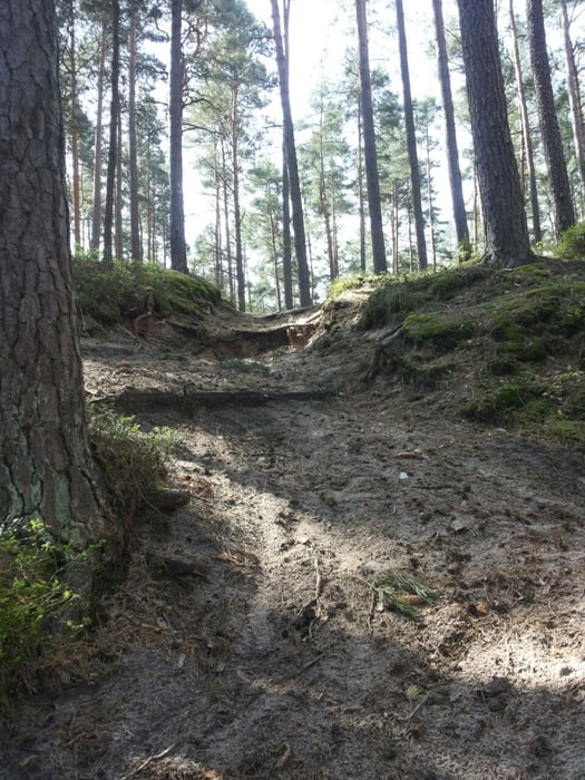
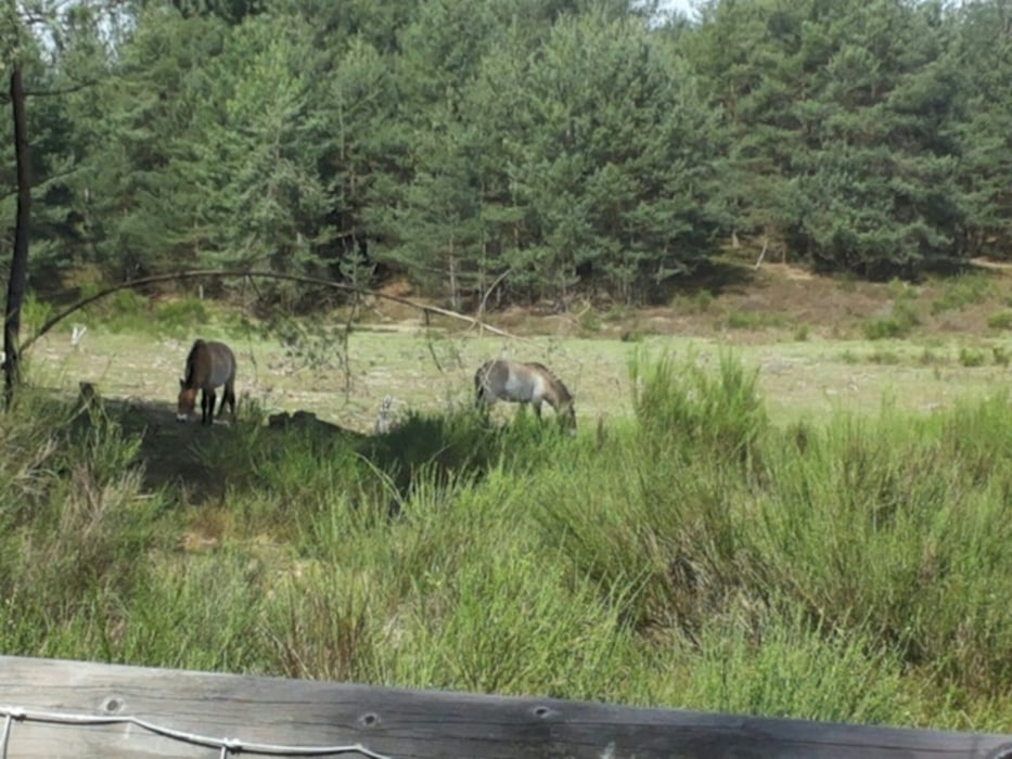
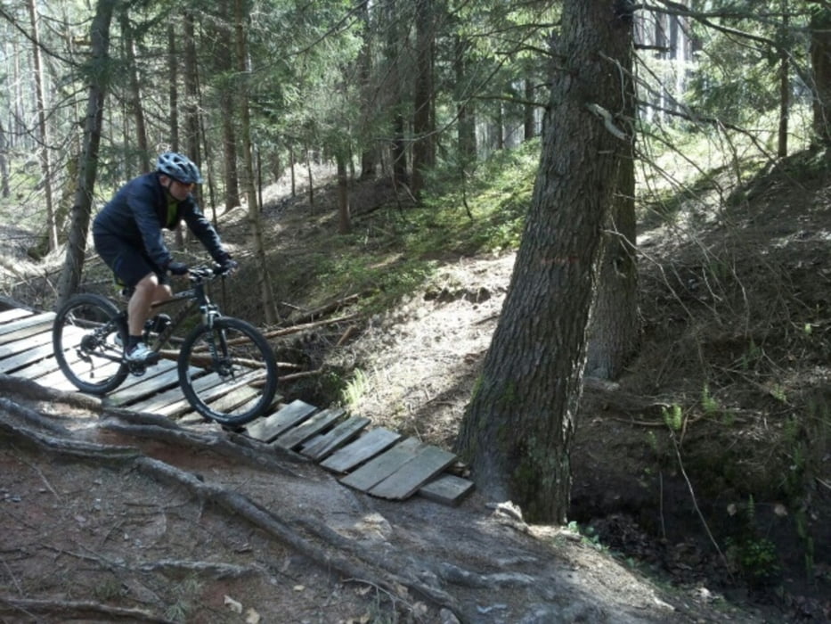
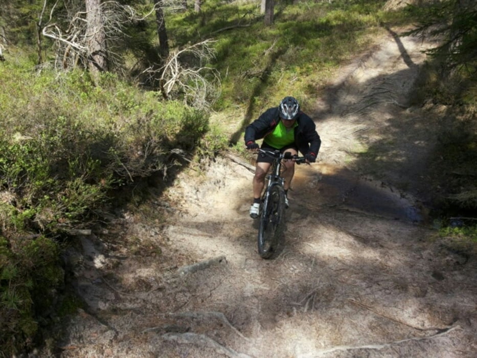
Schöne Tour mit teils schon anspruchsvollen Trails, durch den Kalchreuther und Tennenloher Forst. Ein wenig Technik und Ausdauer sollten vorhanden sein. Großteils führt die Tour durch sehr schöne Singletrails. Start in Käswasser, wo es nach der Tour auch gleich nen schönen Biergarten gibt ;-)


Tour gallery

Tour map and elevation profile

  • Open Street Map
  • Google
Minimum height 302 m Maximum height 420 m Detailed view

More about the tour author

Gruebi
Member since 2015

Send private message

Comments

Firebird on 05.04.2021

Tolle Tour

Sehr schön Tour mit vielen Singletrails und Variantenmöglichkeiten
Anfahrt nach Kalchreuth von Nürnberg in Nordöstliche Richtung über Heroldsberg oder Nbg/ Buchenbühl.

GPS tracks

Trackpoints
  • GPX / Garmin Map Source (gpx) download
  • TCX / Garmin Training Center® (tcx) download
  • CRS / Garmin Training Center® (crs) download
  • Google Earth (kml) download
  • G7ToWin (g7t) download
  • TTQV (trk) download
  • Overlay (ovl) download
  • Fugawi (txt) download
  • Kompass (DAV) Track (tk) download
  • Track data sheet (pdf) download
  • Original file of the author (gpx) download

More about the tour author

Gruebi
Member since 2015

Send private message
Share track
Add to my favorites
Remove from my favorites
Edit tags
My score
Rate
Track: Trails um Kalchreuth und Heroldsberg
Type: Mountain bike
Distance: 28,8 km
Evaluated on:
Duration:
Day(s)
Hour(s)
Minute(s)
Score: Landscape Fun factor Fitness Technique