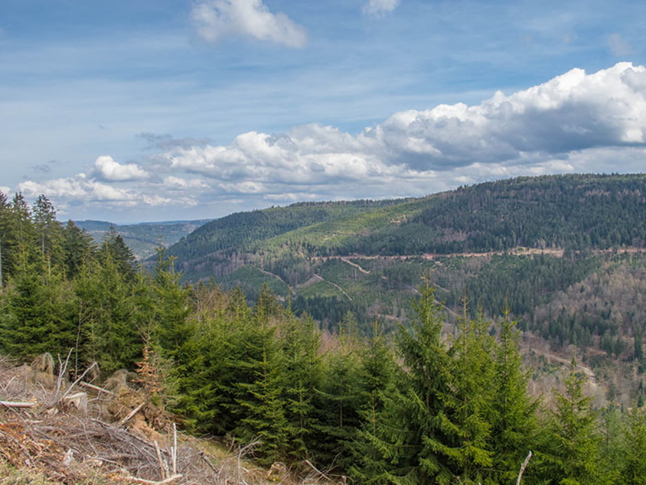
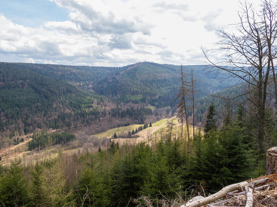
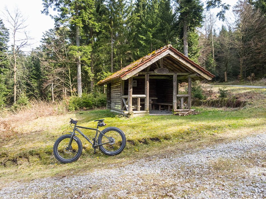
Bin zwar mit dem MTB gefahren, habe die Strecke aber unter Trekkingrad eingestellt, da die Streckenbeschaffenheit keine besondere Herausforderungen darstellt.
Streckeverlauf: Schwarzmiss - Kreuzlehütte - Stillwasserhütte - Bodelschwinghtanne - Weithäuslesplatz - Pfützenhäusle - Dobel - (Dennach) - Schwanner Warte - Schwann - Hardthof - Weiler - Langensteinbach - Reichenbach - Busenbach.
Further information at
http://www.velotouren.net/radtouren/touren/touren2015/rund-um-karlsruhe/ruka1514/Tour gallery
Tour map and elevation profile
Minimum height 228 m
Maximum height 948 m
Comments

GPS tracks
Trackpoints-
GPX / Garmin Map Source (gpx) download
-
TCX / Garmin Training Center® (tcx) download
-
CRS / Garmin Training Center® (crs) download
-
Google Earth (kml) download
-
G7ToWin (g7t) download
-
TTQV (trk) download
-
Overlay (ovl) download
-
Fugawi (txt) download
-
Kompass (DAV) Track (tk) download
-
Track data sheet (pdf) download
-
Original file of the author (gpx) download
Add to my favorites
Remove from my favorites
Edit tags
Open track
My score
Rate


