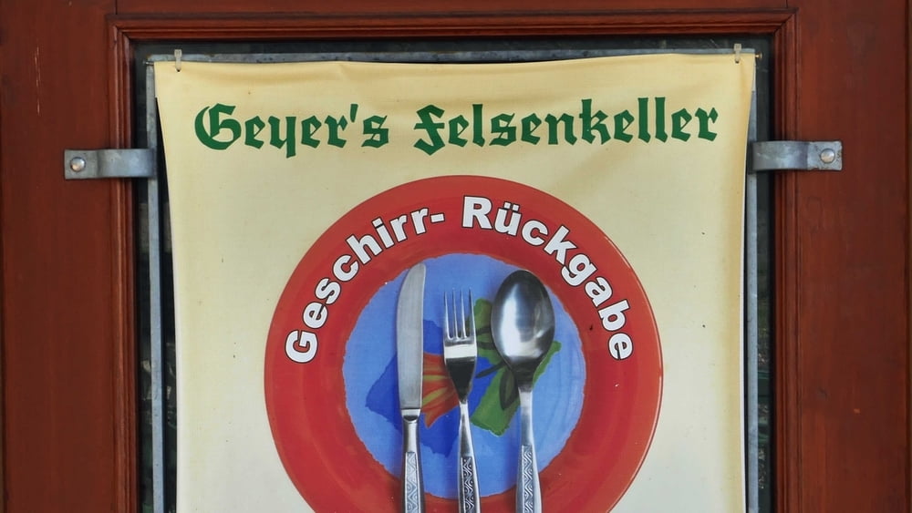
Ausritt zum Geyers Bierkeller in Oberreichenbach
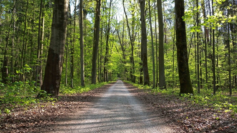
Die Anfahrt nach Oberreichenach folgt fast der Direttissima über Schotterwege durch Wald und Flur und ist daher mit einem Tourenrad nicht leicht zu bewältigen. Macht aber Spass mal Querfeldein sich dem Ziel zu nähern. Nur bei Puschendorf gilt es zwei kurze, aber steile Stellen zu meistern. Die übrige Strecke ist dann ein nicht sehr forderndes auf-und-ab durch fränkische Hügellandschaft.. Zu beachten wären die Öffnungszeiten des Kellers -s..Link unten. Die Rückfahrt ist für MTB-Fahrer uninteressant denn ich wähle ruhige Landstraßen über Münchaurach und Tuchenbach. Diese Wahl ist aber nicht schlecht verbummelt man sich im Biergarten, denn ich kann nun Strecke machen. - In schneller Fahrt erreiche ich also wieder das Fürther Stadgebiet, Zirndorf und Oberasbach.
Further information at
http://www.oeffnungszeitenbuch.de/filiale/Oberreichenbach-Geyers%2527%2BBierkeller-1074735H.htmlTour gallery
Tour map and elevation profile
Comments

GPS tracks
Trackpoints-
GPX / Garmin Map Source (gpx) download
-
TCX / Garmin Training Center® (tcx) download
-
CRS / Garmin Training Center® (crs) download
-
Google Earth (kml) download
-
G7ToWin (g7t) download
-
TTQV (trk) download
-
Overlay (ovl) download
-
Fugawi (txt) download
-
Kompass (DAV) Track (tk) download
-
Track data sheet (pdf) download
-
Original file of the author (gpx) download


