


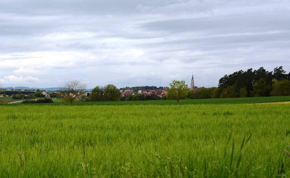
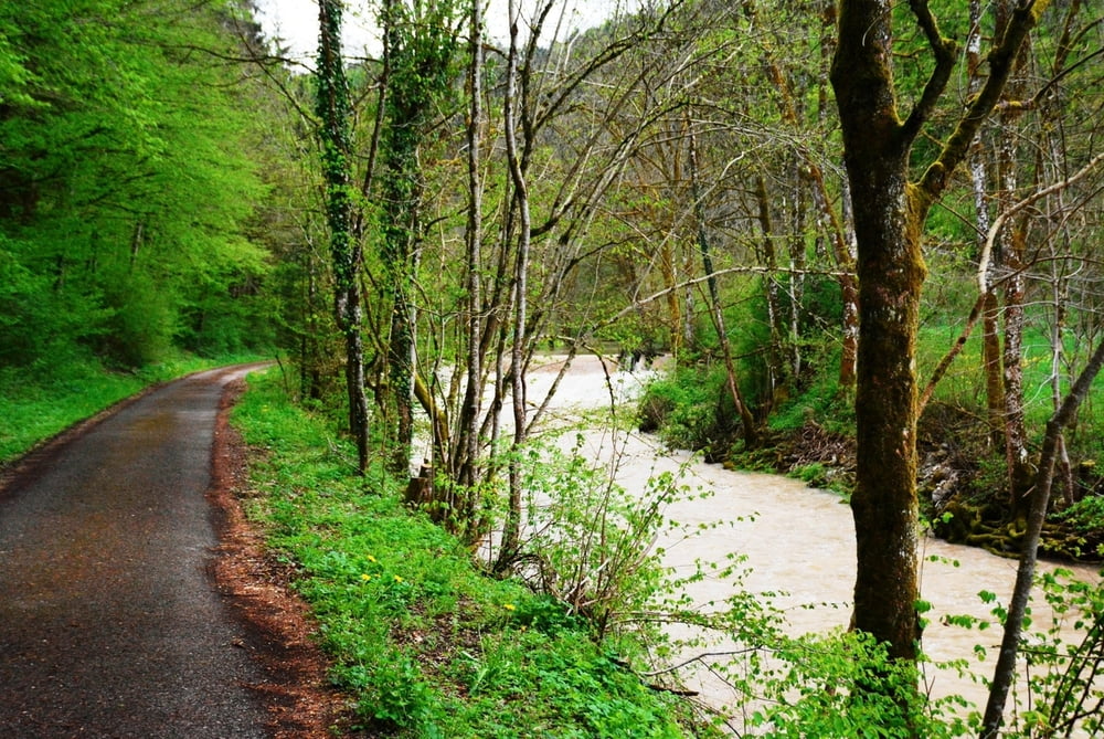
Schöne Wanderung von Bieringen (Wanderparkplatz in der Allmandstrasse) an der Starzel entlang, nach Wachendorf und zurück ins Neckartal nach Bieringen. Vor Wachendorf Blick auf die schwäbische Alb / Burg Hohenzollern.
Einkehr unterwegs nich möglich.
Einkehr in Bieringen:
Landgasthof Kaiser, Burkhardtstraße 5, 72108 Rottenburg, Tel.: 07472 6955, Internet landgasthofkaiser.de
Backhaus Bieringen, Neckartalstraße 2, 72108 Rottenburg am Neckar, Tel.: 07472 7171, Internet backhaus-bieringen.de
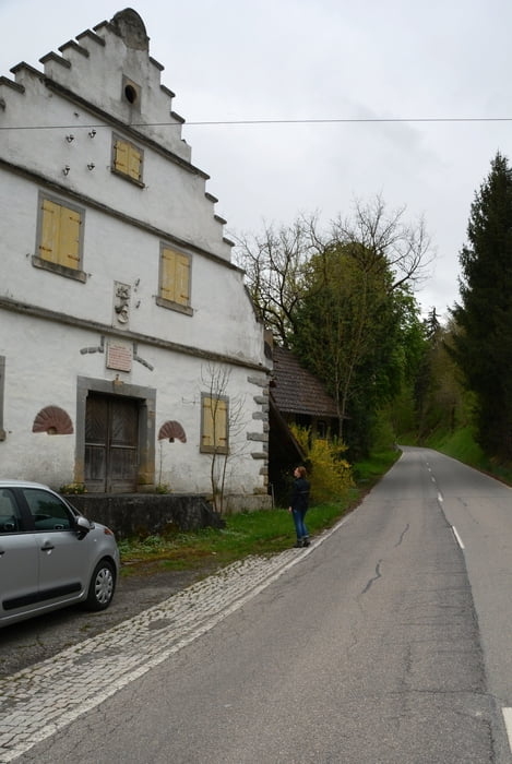
Alternativ kann man auch die Wanderung an der Burgmühle beginnen (Wanderparkplatz an der L392 zwischen Wachendorf und Schwalldorf)
oder
am Sportplatz in Wachendorf am Holzwiesen
Further information at
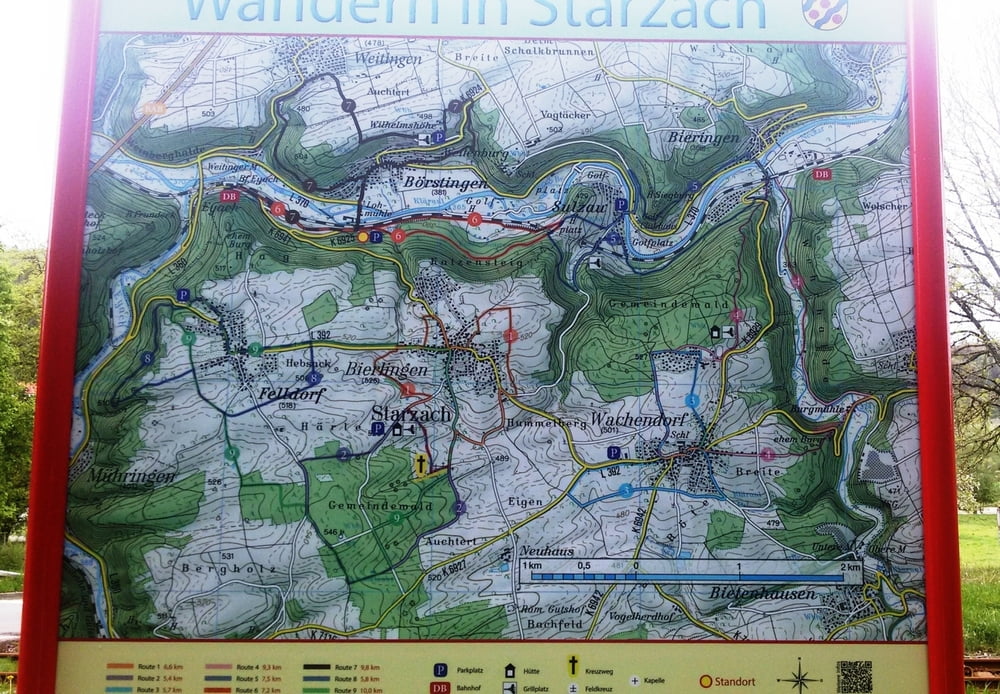
http://www.starzach.de/index.php/freizeit/tourismus/wanderwegeTour gallery
Tour map and elevation profile
Minimum height 361 m
Maximum height 523 m
More about the tour author
|
|
Heinzs1 |
Comments

Navi Starzeltalstrasse 72108 Rottenburg - Bieringen
GPS tracks
Trackpoints-
GPX / Garmin Map Source (gpx) download
-
TCX / Garmin Training Center® (tcx) download
-
CRS / Garmin Training Center® (crs) download
-
Google Earth (kml) download
-
G7ToWin (g7t) download
-
TTQV (trk) download
-
Overlay (ovl) download
-
Fugawi (txt) download
-
Kompass (DAV) Track (tk) download
-
Track data sheet (pdf) download
-
Original file of the author (gpx) download
More about the tour author
|
|
Heinzs1 |
Add to my favorites
Remove from my favorites
Edit tags
Open track
My score
Rate