Login

Forgotten password?

Cookies have to be accepted!
Your browser's cookie functionality is disabled. Please enable this functionality.

Not a member yet?

Register now
Login

Available for registred users only

Log in to use this feature.

Forgotten password?

Cookies have to be accepted!
Your browser's cookie functionality is disabled. Please enable this functionality.

Not a member yet?

Register now
Filter
Categories
Advanced filters
  • Distance (km)
  • Height
Save filters Reset filter

TrackRank

QRCode

Technical data

Distance9,6 km Height570 m Way down544 m Duration05:00 h:m Date16.05.2015
Scores Author Landscape Fun factor Fitness Technique

Statistics

980 Views 1 Score 46 Downloads 5.00 Average
Rate
  • Track data sheet
  • Directions
  • Downloads

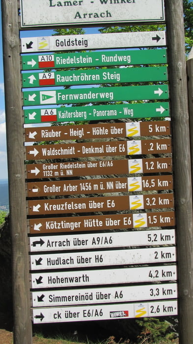
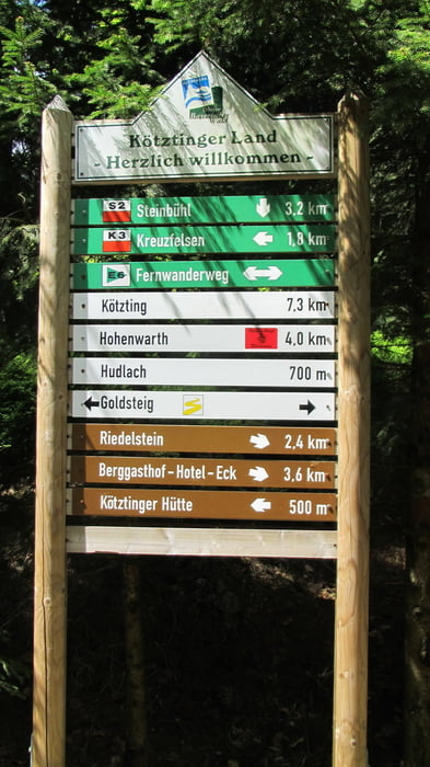
Reitenberg - Kreuzfelsen - Mittagsstein - Kötztinger Hütte (Hier einkehrmöglichkeit; Preis für Schweinebraten 7,50 €) - Rauchröhren - Kötztinger Hütte - Reitenberg


Tour gallery

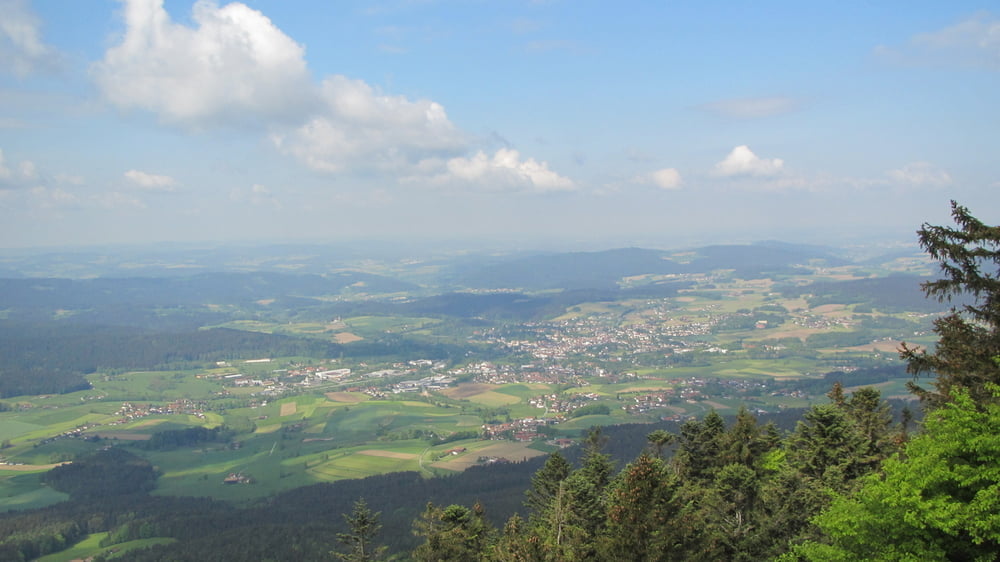
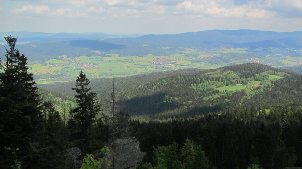
Tour map and elevation profile

  • Open Street Map
  • Google
Minimum height 783 m Maximum height 1107 m Detailed view

More about the tour author

Zuloum
Member since 2015

Send private message

Comments

Nach Bad Kötzting von dort nach Reitenstein zum Parkplatz.


GPS tracks

Trackpoints
  • GPX / Garmin Map Source (gpx) download
  • TCX / Garmin Training Center® (tcx) download
  • CRS / Garmin Training Center® (crs) download
  • Google Earth (kml) download
  • G7ToWin (g7t) download
  • TTQV (trk) download
  • Overlay (ovl) download
  • Fugawi (txt) download
  • Kompass (DAV) Track (tk) download
  • Track data sheet (pdf) download
  • Original file of the author (gpx) download

More about the tour author

Zuloum
Member since 2015

Send private message
Share track
Add to my favorites
Remove from my favorites
Edit tags
My score
Rate
Track: Reitenberg - Kaitersberg
Type: Hiking
Distance: 9,6 km
Evaluated on:
Duration:
Day(s)
Hour(s)
Minute(s)
Score: Landscape Fun factor Fitness Technique