


BikeTube HD 109
die Schwäbische Alb: Zwiefalten und Bussen
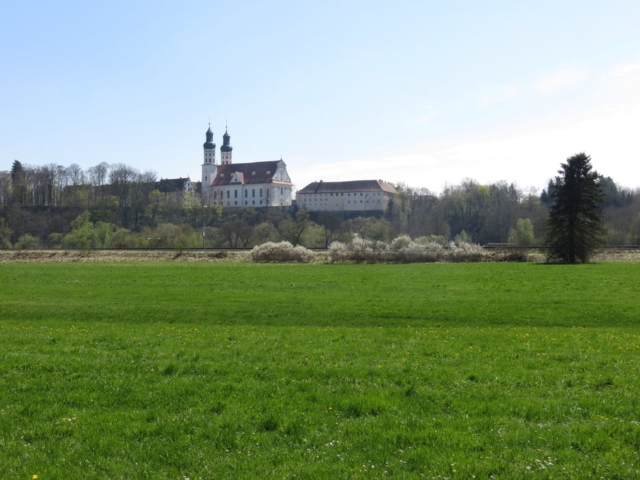
Diese Rundtour startet und endet in Zwiefalten auf der Schwäbischen Alb.
Nach einem kurzen Besuch der Wimsener Höhle folgen wir der kurzen Zwiefalter Ach bis zur Donau.
In Munderkingen überlassen wir die Donau sich selbst und schwenken auf dem Weg zurück nach Westen ein.
Über den Bussen, der höchsten Erhebung in Oberschwaben, erreichen wir dann in Riedlingen wieder die Donau und schließen der Kreis durch das Friedinger Tal und das Tobeltal.
Tour gallery


Tour map and elevation profile
Minimum height 505 m
Maximum height 731 m
More about the tour author
|
|
Berndinho |
Comments

Parken am Sportplatz in Zwiefalten
GPS tracks
Trackpoints-
GPX / Garmin Map Source (gpx) download
-
TCX / Garmin Training Center® (tcx) download
-
CRS / Garmin Training Center® (crs) download
-
Google Earth (kml) download
-
G7ToWin (g7t) download
-
TTQV (trk) download
-
Overlay (ovl) download
-
Fugawi (txt) download
-
Kompass (DAV) Track (tk) download
-
Track data sheet (pdf) download
-
Original file of the author (gpx) download
More about the tour author
|
|
Berndinho |
Add to my favorites
Remove from my favorites
Edit tags
Open track
My score
Rate