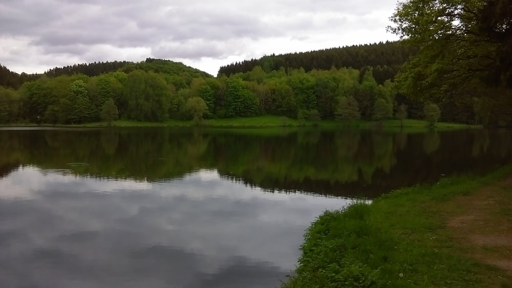
Wunderschöne Wanderung an der belgisch-deutschen Grenze von Schönberg nach dem Stausee von Auw.diese Wanderung geht meistens auf Waldwegen bis in kleine Eifeldörfer wo dann kurze Strecken auf Asphalt, dann wieder ganz schnell wieder in die schöne Naturlandschaft der Eifel bis hin zum Stausee.
Further information at
http://www.zuraltenschmiede.beTour gallery
Tour map and elevation profile
Minimum height 379 m
Maximum height 569 m
Comments

GPS tracks
Trackpoints-
GPX / Garmin Map Source (gpx) download
-
TCX / Garmin Training Center® (tcx) download
-
CRS / Garmin Training Center® (crs) download
-
Google Earth (kml) download
-
G7ToWin (g7t) download
-
TTQV (trk) download
-
Overlay (ovl) download
-
Fugawi (txt) download
-
Kompass (DAV) Track (tk) download
-
Track data sheet (pdf) download
-
Original file of the author (gpx) download
Add to my favorites
Remove from my favorites
Edit tags
Open track
My score
Rate


