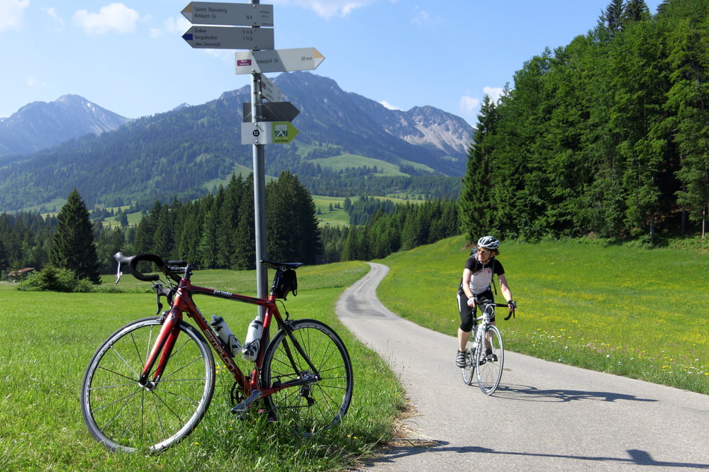
Landschaftlich sehr schöne Runde. Teilweise kleine Strassen und Wege, aber auch etwas lästige Ortsdurchfahrten von Marktoberdorf und Kaufbeuren. Mit etwas Umweg bzw. mehr Höhenmetern könnte man das sicher vermeiden.
Für geübte Fahrer sicher auch an einem Tag machbar. Wir haben im Lechtal im Gasthof Goldenes Lamm in Weissenbach übernachtet. Sehr zu empfehlen!
Tour gallery
Tour map and elevation profile
Minimum height 579 m
Maximum height 1154 m
Comments

GPS tracks
Trackpoints-
GPX / Garmin Map Source (gpx) download
-
TCX / Garmin Training Center® (tcx) download
-
CRS / Garmin Training Center® (crs) download
-
Google Earth (kml) download
-
G7ToWin (g7t) download
-
TTQV (trk) download
-
Overlay (ovl) download
-
Fugawi (txt) download
-
Kompass (DAV) Track (tk) download
-
Track data sheet (pdf) download
-
Original file of the author (gpx) download
Add to my favorites
Remove from my favorites
Edit tags
Open track
My score
Rate


