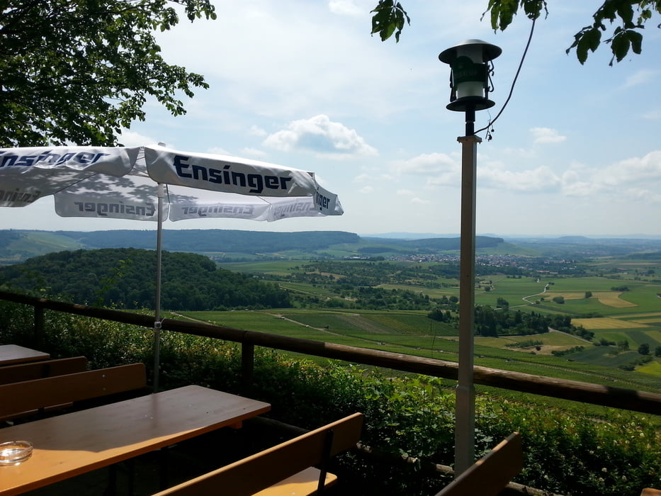
Start am Wanderparkplatz Wunnenstein,an der K 1617 zwischen Winzerhausen und Beilstein.Dann bergan zum Restaurant Wunnenstein,herrliche Aussicht,unterhalb vom Restaurant an den Weinbergen entlang bis zur Hütte. Dort links in den schmalen Pfad bis zum Schotterweg.Dort wieder links und durch den Wald zurück zum Parkplatz.
Tour gallery
Tour map and elevation profile
Minimum height 296 m
Maximum height 371 m
Comments

GPS tracks
Trackpoints-
GPX / Garmin Map Source (gpx) download
-
TCX / Garmin Training Center® (tcx) download
-
CRS / Garmin Training Center® (crs) download
-
Google Earth (kml) download
-
G7ToWin (g7t) download
-
TTQV (trk) download
-
Overlay (ovl) download
-
Fugawi (txt) download
-
Kompass (DAV) Track (tk) download
-
Track data sheet (pdf) download
-
Original file of the author (gpx) download
Add to my favorites
Remove from my favorites
Edit tags
Open track
My score
Rate


