


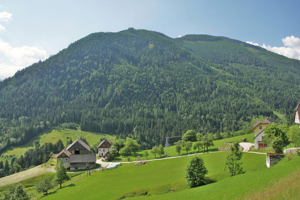
Die Strubschlucht Runde besteht zwar vorwiegend aus Asphalt 31,5 km und Schotter 1,8 km, aber die restlichen 1,7 km sind sehr interessante und teilweise technisch anspruchsvolle Feldwege und Singletrails. Auch die landschaftlich sehr schöne Gegend im Naturpark Sölktäler ist ein großer Anreiz diese sehr gut beschilderte MTB Tour zu fahren.
mehr Infos, Fotos und Video auf biketours4you.at
Tour gallery


Tour map and elevation profile
Minimum height 662 m
Maximum height 1199 m
More about the tour author
|
|
Trek1400d |
Comments

Pruggern liegt im obersteirischen Ennstal zwischen Gröbming und Haus im Ennstal. Von der Abfahrt auf der Bundesstraße B320 sind es nur wenige hundert Meter in den schönen Ort hinunter.
GPS tracks
Trackpoints-
GPX / Garmin Map Source (gpx) download
-
TCX / Garmin Training Center® (tcx) download
-
CRS / Garmin Training Center® (crs) download
-
Google Earth (kml) download
-
G7ToWin (g7t) download
-
TTQV (trk) download
-
Overlay (ovl) download
-
Fugawi (txt) download
-
Kompass (DAV) Track (tk) download
-
Track data sheet (pdf) download
-
Original file of the author (gpx) download
More about the tour author
|
|
Trek1400d |
Add to my favorites
Remove from my favorites
Edit tags
Open track
My score
Rate