


Start der Tour ist der Parkplatz bei der Feuerwehr in Aigen/Schlägl.
Auf Nebenstraßen geht es Richtung Ulrichsberg. Auffahrt bei Salnau auf dem Böhmerwaldrundweg zum Roßtauscherberg. Steilstück von Kilometer 6,3 bis 9,4 Fahrverbot für Fahrräder auf Forststraße.
Beim Roßtauscherberg geht's weiter auf dem Radweg Moldaublick Bärenstein. Abzweigung auf den Nordwaldkammweg. Kurze Fahrt auf dem Nordwaldkammweg und weiter auf Forststraße Richtung Schwemmkanal. Rasante Abfahrt.
Auf Schwemmkanal zum Kreuzungspunkt Korander und über St Oswald Wurmbrand wieder nach Aigen retour. Kurzer Abstecher über den halben Hagerberg zur Landesstraße auf den Bärenstein und abrollen zum Ausgangspunkt.
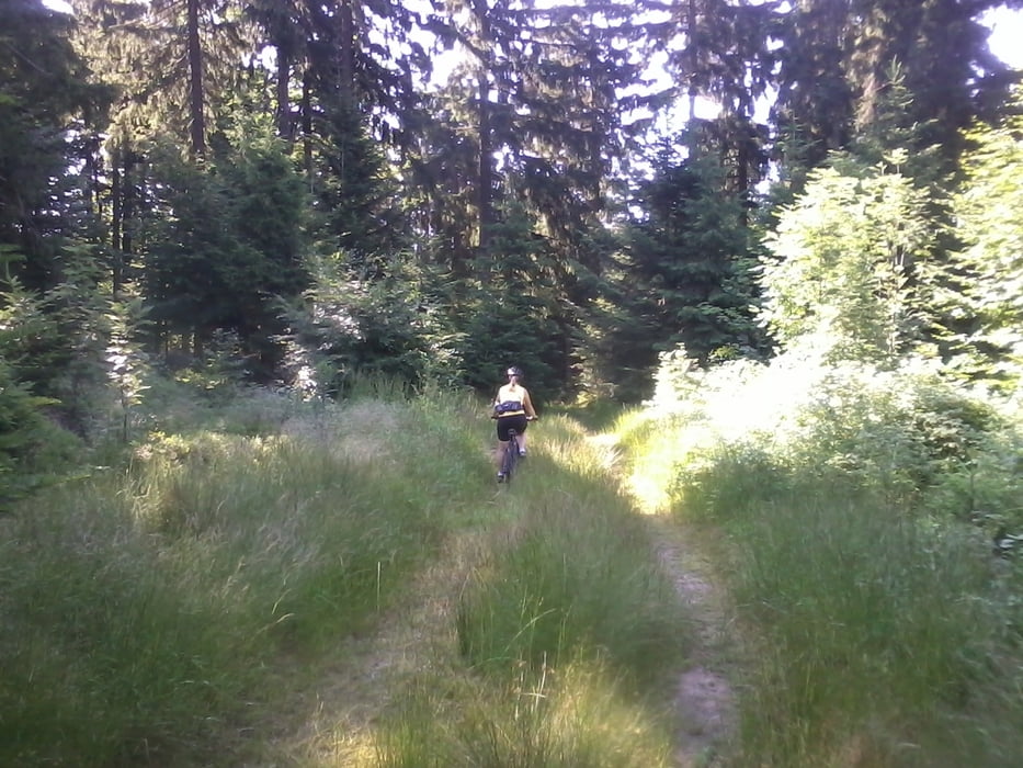
Tour gallery


Tour map and elevation profile
Minimum height 586 m
Maximum height 991 m
More about the tour author
|
|
Hoar |
Comments

GPS tracks
Trackpoints-
GPX / Garmin Map Source (gpx) download
-
TCX / Garmin Training Center® (tcx) download
-
CRS / Garmin Training Center® (crs) download
-
Google Earth (kml) download
-
G7ToWin (g7t) download
-
TTQV (trk) download
-
Overlay (ovl) download
-
Fugawi (txt) download
-
Kompass (DAV) Track (tk) download
-
Track data sheet (pdf) download
-
Original file of the author (gpx) download
More about the tour author
|
|
Hoar |
Add to my favorites
Remove from my favorites
Edit tags
Open track
My score
Rate