


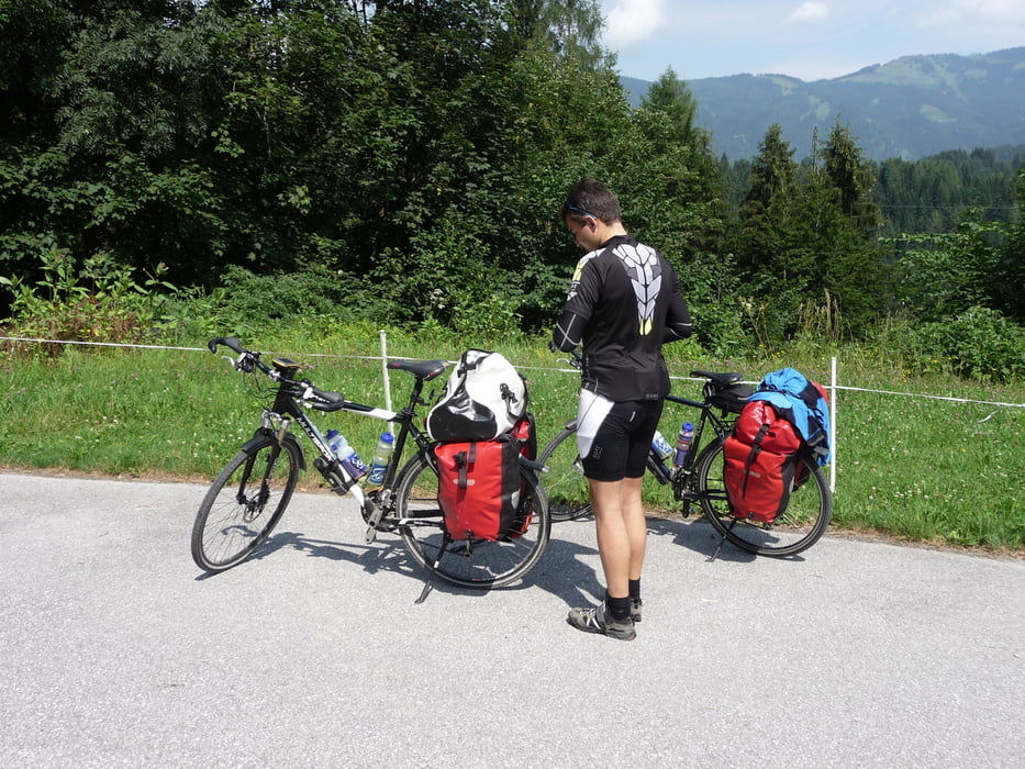
Die 2. Etappe führt uns von St. Johann im Pongau über Schwarzach im Pongau, wo wir das Salzachtal verlassen. Durch den ca. 1,5 km langen Klamm-Tunnel kommen wir ins herrliche Gasteinertal, dessen abschließender Höhepunkt Bad Gastein ist. Die Tour hat sowohl direkt hinter Schwarzach - hier geht es hinauf zum Ausgleichspeicherbecken - , als auch kurz vor Bad Gastein sehr heftige Steigungen. Aber auch der Badesee kurz vor Bad Gastein war an diesem heißen Sommertag sehr verlockend.
Tour gallery


Tour map and elevation profile
Minimum height 581 m
Maximum height 1096 m
More about the tour author
|
|
lolue |
Comments

GPS tracks
Trackpoints-
GPX / Garmin Map Source (gpx) download
-
TCX / Garmin Training Center® (tcx) download
-
CRS / Garmin Training Center® (crs) download
-
Google Earth (kml) download
-
G7ToWin (g7t) download
-
TTQV (trk) download
-
Overlay (ovl) download
-
Fugawi (txt) download
-
Kompass (DAV) Track (tk) download
-
Track data sheet (pdf) download
-
Original file of the author (gpx) download
More about the tour author
|
|
lolue |
Add to my favorites
Remove from my favorites
Edit tags
Open track
My score
Rate