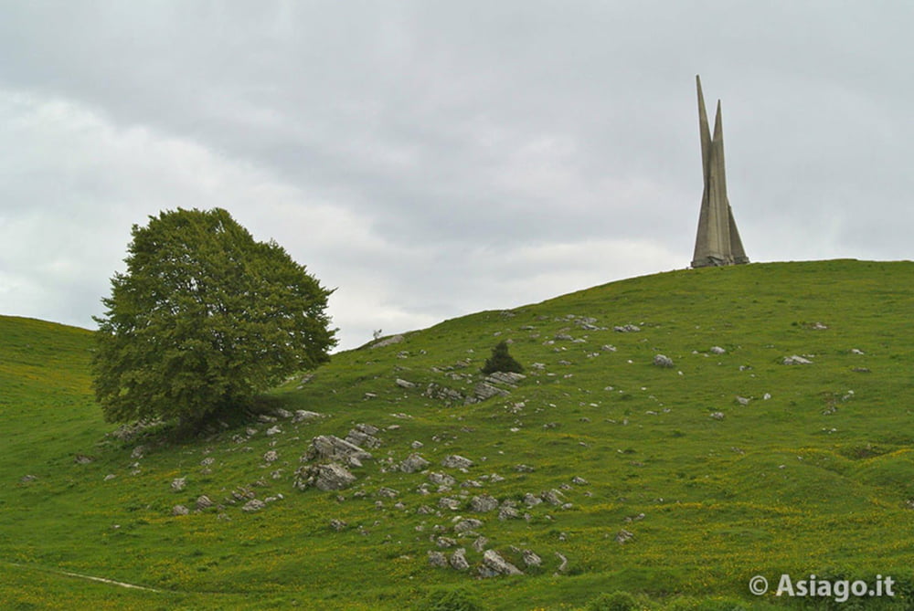
Ottima passeggiata relativamente impegnativa nella parte iniziale. Molto bella la prima metà del percorso che avviene nel sottobosco, meno bella la seconda metà in parte su percorso asfaltato.
Further information at
http://www.magicoveneto.it/altipian/Lusiana/MonteCorno-1.htmTour gallery
Tour map and elevation profile
Minimum height 1221 m
Maximum height 1485 m
Comments

GPS tracks
Trackpoints-
GPX / Garmin Map Source (gpx) download
-
TCX / Garmin Training Center® (tcx) download
-
CRS / Garmin Training Center® (crs) download
-
Google Earth (kml) download
-
G7ToWin (g7t) download
-
TTQV (trk) download
-
Overlay (ovl) download
-
Fugawi (txt) download
-
Kompass (DAV) Track (tk) download
-
Track data sheet (pdf) download
-
Original file of the author (gpx) download
Add to my favorites
Remove from my favorites
Edit tags
Open track
My score
Rate


