


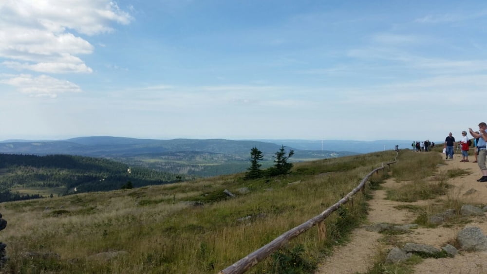
Die Tour startet am Parkhaus in Schierke. Von dort aus folgen wir den Wandererkolonnen über den Eckerlochstieg hinauf zum Brocken.
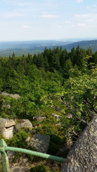
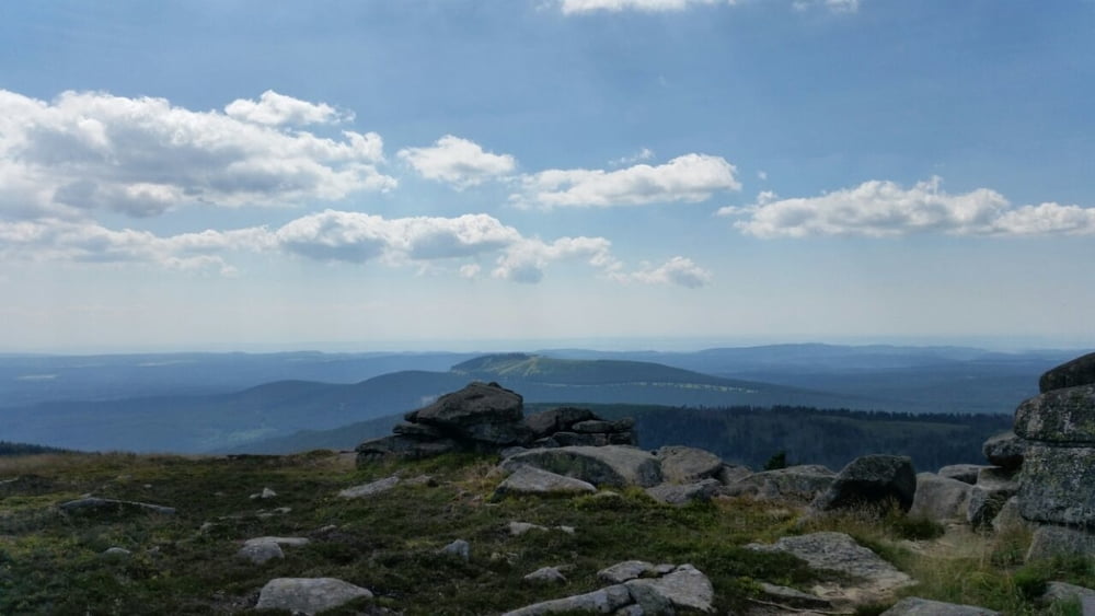
Der Abstieg führt anfangs über den Asphaltweg und biegt nach ca. 3,5 km links in Richtung Zeterklippen ab. Von dort aus hat man noch einmal einen schönen Blick auf den Brocken. Von hier aus werden aber auch die Auswirkungen des Borkenkäfers auf dramatische Weise ersichtlich.
Der weitere Abstieg erfolgt über die alte Bobbahn zurück nach Schierke.
Tour gallery
Tour map and elevation profile
Minimum height 594 m
Maximum height 1155 m
More about the tour author
|
|
m4rc3l |
Comments

Parkhaus Schierke
GPS tracks
Trackpoints-
GPX / Garmin Map Source (gpx) download
-
TCX / Garmin Training Center® (tcx) download
-
CRS / Garmin Training Center® (crs) download
-
Google Earth (kml) download
-
G7ToWin (g7t) download
-
TTQV (trk) download
-
Overlay (ovl) download
-
Fugawi (txt) download
-
Kompass (DAV) Track (tk) download
-
Track data sheet (pdf) download
-
Original file of the author (gpx) download
More about the tour author
|
|
m4rc3l |
Add to my favorites
Remove from my favorites
Edit tags
Open track
My score
Rate