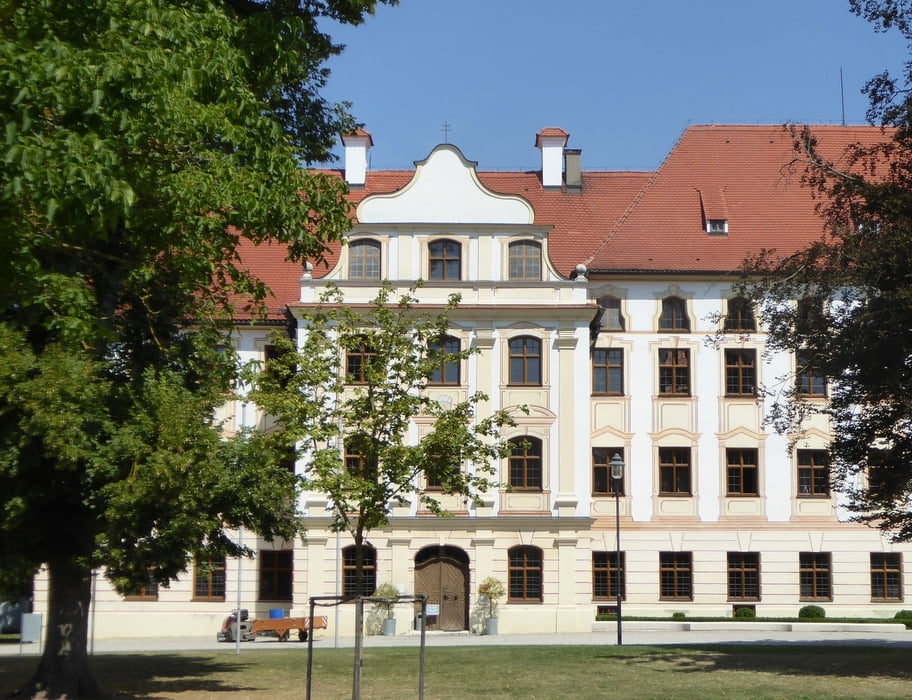
Eine Radtour, die am Naturfreundehaus Vinzenz-Behr-Hütte (Fischerweg 34, 86405 Meitingen-Herbertshofen) beginnt und nach Thierhaupten zum Kloster mit Restaurant und Biergarten, zum Mühlemmuseum und zum sehr schönen, stets öffentlich frei zugänglichen Garten des Obst- und Gartenbauvereins Thierhaupten führt.
Am Weg liegt ein weiteres Restaurant bei der nördlichen Lechbrücke.
Baden im Lech ist an vielen Stellen möglich.
Die Wege sind Schotter- und Asphaltwege durch die Lechebene und durch angenehm bewaldete, teils etwas hügelige Strecke am Rande der Lechebene oder am Lech selbst.
Tour gallery
Tour map and elevation profile
Comments

Ich bin gestartet am
Naturfreundehaus Vinzenz-Behr-Hütte
Fischerweg 34
86405 Meitingen-Herbertshofen
Aber das ist eine Rundtour und ie kann man halt auch ean irgendeiner anderen Stelle starten. Der Start hier hat den Vorteil, dass Kloster Thierhaupten für eine Rast schön passend liegt.
GPS tracks
Trackpoints-
GPX / Garmin Map Source (gpx) download
-
TCX / Garmin Training Center® (tcx) download
-
CRS / Garmin Training Center® (crs) download
-
Google Earth (kml) download
-
G7ToWin (g7t) download
-
TTQV (trk) download
-
Overlay (ovl) download
-
Fugawi (txt) download
-
Kompass (DAV) Track (tk) download
-
Track data sheet (pdf) download
-
Original file of the author (gpx) download


