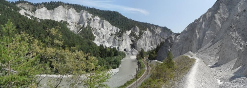
Endurotour von Flims/Laax an den Rhein, dem Rhein aufwärts bis zur Bahnstation Valendanz (Parkplatz und gratis 400m weiter, siehe Wegpunkt) , zurück nach Flims auf Güterweg. Schwierigkeit S2-S3, es geht teilweise steil bergauf so daß starke Kondition und gute Fahrtechnik hilfreich sind, Schiebeanteil für mich war ca. 100hm.
Eine Tour nach meinem Geschmack, ruppige Naturtrails.
Wegen der Wanderer Spitzenzeiten meiden.
Tour gallery
Tour map and elevation profile
Minimum height 648 m
Maximum height 1234 m
Comments
Parken am Tourstart (gebührenpflichtig 50cent pro Std.)
GPS tracks
Trackpoints-
GPX / Garmin Map Source (gpx) download
-
TCX / Garmin Training Center® (tcx) download
-
CRS / Garmin Training Center® (crs) download
-
Google Earth (kml) download
-
G7ToWin (g7t) download
-
TTQV (trk) download
-
Overlay (ovl) download
-
Fugawi (txt) download
-
Kompass (DAV) Track (tk) download
-
Track data sheet (pdf) download
-
Original file of the author (gpx) download
Add to my favorites
Remove from my favorites
Edit tags
Open track
My score
Rate


Eindrücklliche Schlucht
Danke dem Autor für die gute Tour!