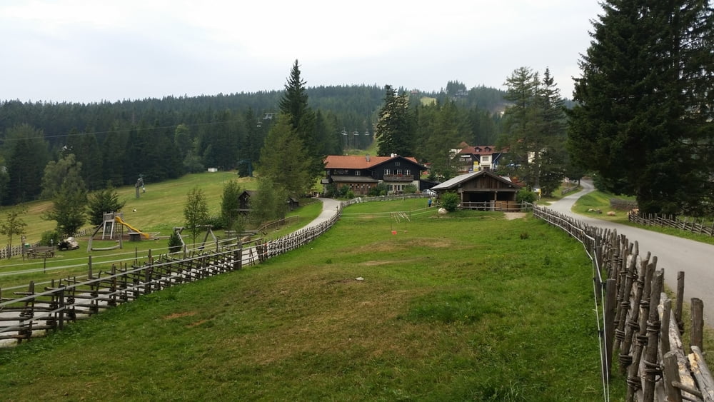
Von Aspang am Wechsel auf der Landstrasse in Richtung Mariensee. Nach Mariensee links auf Forstweg (Schild Gasthof Fernblick). Nicht allzu steil geht es dann hinauf auf die Mönichkirchner Schwaig. Von dort kommt man dann auf eine Kreuzung wo man entweder nach Mönichkirchen oder einen anderen Weg zurück nach Mariensee nehmen kann.
Tour map and elevation profile
Minimum height -101 m
Maximum height 1152 m
Comments

GPS tracks
Trackpoints-
GPX / Garmin Map Source (gpx) download
-
TCX / Garmin Training Center® (tcx) download
-
CRS / Garmin Training Center® (crs) download
-
Google Earth (kml) download
-
G7ToWin (g7t) download
-
TTQV (trk) download
-
Overlay (ovl) download
-
Fugawi (txt) download
-
Kompass (DAV) Track (tk) download
-
Track data sheet (pdf) download
-
Original file of the author (gpx) download
Add to my favorites
Remove from my favorites
Edit tags
Open track
My score
Rate


