


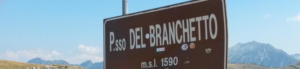
Von Peschiera geht es durch Verona ins bergige Hinterland. Hinter Mezzane di Sotto beginnt der lange Anstieg zum Passo del Branchetto (ca. 1400 hm auf 35 km). anach folgt eine traumhafte Strecke, die sich wellig durchs Bergland zieht. Gute Gelengeheit für eine Rast bietet Bosco Chiesanova. Hinter Campagna biegt die Straße zum Passo Fittanze ab.
Hinter dem Passo Fittanze folgt eine steile Abfahrt ins Etschtal. Dort angekommen geht es ab Avio auf dem Radweg talabwärts bis nach Peri, wo es in die Serpentinen hinauf nach Fosse geht (ca. 800 hm auf 10 km).
Von Fosse geht es auf sanfter Abfahrt nach Sant Anbroglio del Valpolicella und weiter zum Gardasee zurück.
Wem die gesamte Tour zu lang ist, kann an der Abzweigung hinter Campagna anstatt zum Passo Fittanze auch direkt nach Fosse fahren. Dadurch wird die Tour deutlich kürzer und leichter.
Tour gallery
Tour map and elevation profile
Minimum height 78 m
Maximum height 1616 m
More about the tour author

|
MicheleTornado |
Comments

GPS tracks
Trackpoints-
GPX / Garmin Map Source (gpx) download
-
TCX / Garmin Training Center® (tcx) download
-
CRS / Garmin Training Center® (crs) download
-
Google Earth (kml) download
-
G7ToWin (g7t) download
-
TTQV (trk) download
-
Overlay (ovl) download
-
Fugawi (txt) download
-
Kompass (DAV) Track (tk) download
-
Track data sheet (pdf) download
-
Original file of the author (gpx) download
More about the tour author
|
|
MicheleTornado |
Add to my favorites
Remove from my favorites
Edit tags
Open track
My score
Rate