

Diese Tour ist eine Feierabendrunde, bei der es von Hilbersdorf vorbei am Eisenbahnmuseum über einen Singletrail zum Naturbad Niederwiesa geht.
Von da aus geht es weiter Richtung Ziegeleiteiche und dann zur Teufelsschlucht.
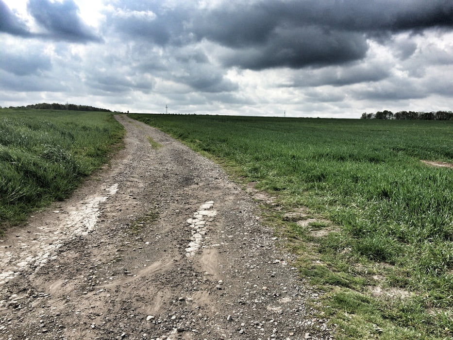
Danach kommt ein schöner Singletrail der euch zur Zschopau bringt.
An der Zschopau geht es dann bis Frankenberg und über die Pappelallee ins Frauenholz.
Hier gibt es so einige schöne Trails. Wenn ihr diese erkundet habt, geht´s entlang der Zschopau zurück nach Niederwiesa, weiter über den Radweg der an der B173 entlang, hoch zum Beutenberg.
Angekommen am höchsten Punkt der Tour, geht´s runter zum Fuchsberg.
Dort beginnt ein schöner Singletrail, der teilweiße recht anspruchsvoll ist.
Wenn ihr diesen geschafft habt seit ihr an der Zeisigwaldschänke. Hier könnt ihr euch eine kleine Pause gönnen.
Von hier aus sind es dann nur noch 1,2km bis zum Ziel.
Tour gallery


Tour map and elevation profile
Minimum height 253 m
Maximum height 426 m
More about the tour author
|
|
Chemnitz-Mitte |
Comments

Start und Ziel:
HEM Tankstelle
Dresdner Str. 119
09131 Chemnitz
GPS tracks
Trackpoints-
GPX / Garmin Map Source (gpx) download
-
TCX / Garmin Training Center® (tcx) download
-
CRS / Garmin Training Center® (crs) download
-
Google Earth (kml) download
-
G7ToWin (g7t) download
-
TTQV (trk) download
-
Overlay (ovl) download
-
Fugawi (txt) download
-
Kompass (DAV) Track (tk) download
-
Track data sheet (pdf) download
-
Original file of the author (gpx) download
More about the tour author
|
|
Chemnitz-Mitte |
Add to my favorites
Remove from my favorites
Edit tags
Open track
My score
Rate